


Past Model


Product Details
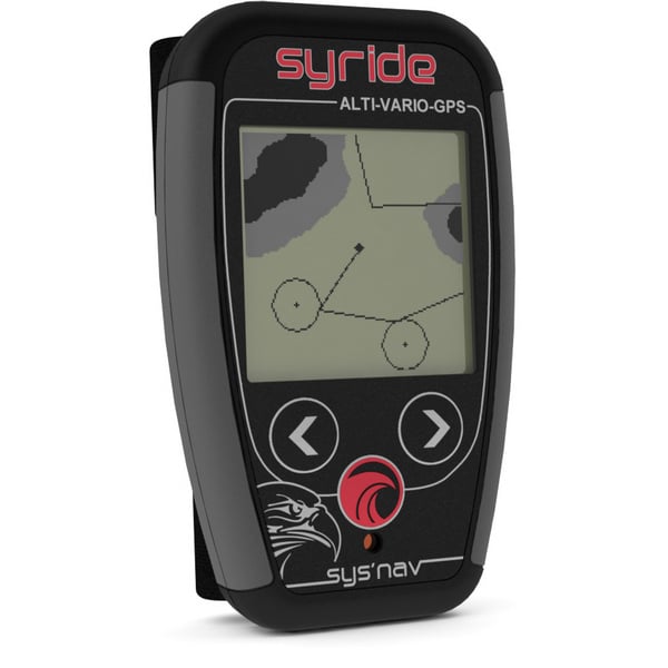
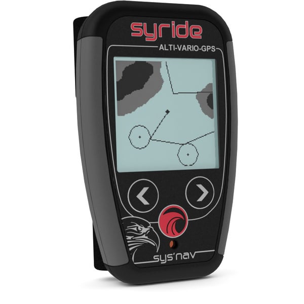
SYS'Nav: Complete
- GPS
- Airspaces
- Compatible competition
- AGL
- GOTO features
Powerful
- Ultra fast response (10cm)
- Thermal-sniffer feature
- 20h autonomy
Practical
- Fixed on the risers for easy reading
- Customizable screen
- G-force feature
- Online flightbook
Lightweight
- Only 83 grams
- The lightest alti-vario-GPS ever
Technical specs
| Function : | Alti-Vario-GPS with G-force meter |
| Size : | 10cm x 6.1cm x 1.7cm |
| Weight : | 83 gr including battery |
| Rising threshold : | from +0.1 m/s to +2.0m/s |
| Falling threshold : | from -0.5 m/s to -5.5m/s |
| Thermal sniffer : | activable from -0.1m/s to +0.1m/s |
| Height above ground : | with topography |
| Backlighted display : | 100% customizable |
| Volume : | 3 levels plus 'OFF' position |
| Autonomy : | 25h |
| Memory : | 90h of flight @ 1 point per second |
| Airspaces : | over 50 000 points |
| Waypoints* : | 600 |
| Routes* : | 10 routes of 150 points max |
| Output files : | IGC, GPX and KML |
| Online flightbook : | included |
| Risers fixing : | included |
| Cockpit fixing : | with hook and loop fastener (included) |
| USB cable : | included |
Video
Manual
Download the SYS'Nav manual (PDF)
Syride Tools
Syride have gathered some useful 'tools' on their website.
- Software: Necessary for downloading flights, customizing screens, upgrading instrument...
- Screen customizer: Enables you to freely customize the informations your instrument displays.
- Airspaces: Avoid flying into forbidden airspaces by uploading OpenAir files into your instrument.
- Topography: Gives access to height above ground information, airspaces with AGL and grayscaled topography on the MAP screen of SYS'Nav.
- Route maker: Build your route or a waypoints list in a few clicks. A piece of cake!
What Our Customers Think
Related Products


Past ModelSold out
Advance


Past ModelSold out


Past ModelSold out


Past ModelSold out
Advance


Past ModelSold out


Past ModelSold out
Flybubble