Tasmania? Why on earth would you want to go there? In the words of local pilot Pete Steane: "make sure you tell them the flying is shite, the weather is shite, the state is expensive to visit and the locals are grumpy and unhelpful. Basically just make sure they all stay away." Are they perhaps hiding something really special in their secretive island hideaway? Thanks to Iain Clarke (President, Tasmanian Hang Gliding and Paragliding Association (THPA) we can reveal the Flybubble Guide to Flying in Tasmania!
While folk in the northern hemisphere are winding down their season, we in the antipodes are looking forward to the commencement of ours, and none more so than us Taswegians. While the pilots up in Queensland have been flying all Winter (and they’ve been getting some cracking flights at Canungra lately), we in Tasmania have very definitely been in hibernation mode.
Tasmania is at the bottom end of Australia, hanging off the south-east corner of the continent, separated by Bass Strait. Between us and Antarctica there is only the Southern Ocean with the small speck that is Macquarie Island. Tectonically, Tasmania (and Australia for that matter), is pretty stable and has been for a while. Consequently, we have an ancient landscape lacking the taller, newer mountain networks on other continents. That’s not to say we don’t have mountains, we do, but don’t go looking for 3000m peaks. The tallest mountain in Australia is barely 2220m (7300’) tall, and in Tasmania you’ll find Mt Ossa at 1610m (5300’). The really sharp and pointy, sticky-uppy bits can be found down in the South-west World Heritage Wilderness Area, which unsurprisingly occupies pretty much the entire south-west quarter of the state.
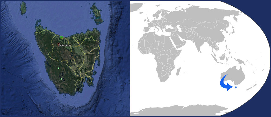
Tasmania actually used to be part of the Antarctic continent, but over time has drifted north. Not far enough though, as we are stuck in the Roaring Forties, the belt of winds that circulate around the globe, fed by airs originating in Antarctica and kept cool by the Southern Ocean. As this would suggest, the lulls we get between blasts dictate our flying opportunities. We can spend a lot of time on the hill para-waiting in glorious scenery. In Summer, clear days will heat the interior plains and central mountain plateau, causing sea-breezes to rush inland. At some sites, you can be on the hill waiting to launch with barely a zephyr moving through and then a minute later be blown out by a 20+ knot wall of air. Temperatures are typically 0-12 °C in Winter, and usually up to high 20s/low 30s in Summer. We do get extremes though: 40.3 °C one day in February 2013; hot northerly winds blowing out of the centre of the continent will do it.
Hazards? Car drivers, especially tourists. Red-back and white-tailed spiders – you’ll get sick. Copper-head and Whip snakes – you’ll get sicker. Tiger snakes – you’ll die. Seriously. Fun fact: there are islands in Bass Strait that have a sub-species of Tiger snake that is more aggressive and more poisonous than the regular bastards. Leave them alone. And don’t even get me started on Drop-bears…

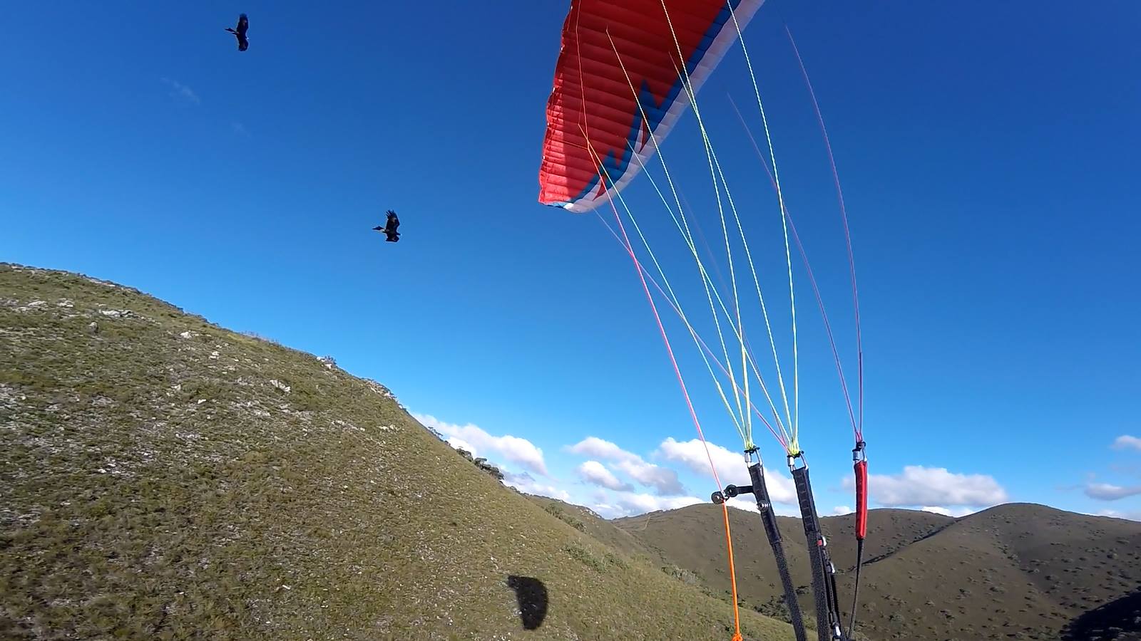
Wedge-tailed eagles. These are friends and foes. They point the way to thermals and have helped quite a few of our pilots, rescuing them from an early bomb-out. When they have chicks in the nest though, they are fiercely territorial and hyper-aggressive. Ours are also a sub-species of the Mainland ones, and are larger. Full grown males have a wing span in excess of 2 m. The females are bigger, up to 2.8 m. Bring your repair tape with you.
In Australia, the Hang Gliding Federation of Australia administers the sport. You need to be a current or visiting member and hold a pilot’s license issued by the HGFA. We do recognise IPPI ratings amongst others. Check before you come.
In Tasmania, the Tasmanian Hang Gliding and Paragliding Association take care of things. We welcome visitors but, as most of our sites are on private property, we insist you get in touch with us so we can show you around and brief you on the site protocols.
We have a small but active community down here with 44 PGers, 11 HGers and 2 weightshift microlight pilots. Pilots are scattered throughout the island with a concentration in and around the capital of Hobart down south, and a very active contingent on the north-west coast.
The state can be broadly divided into three main flying areas: North-west Coast, Midlands and South.
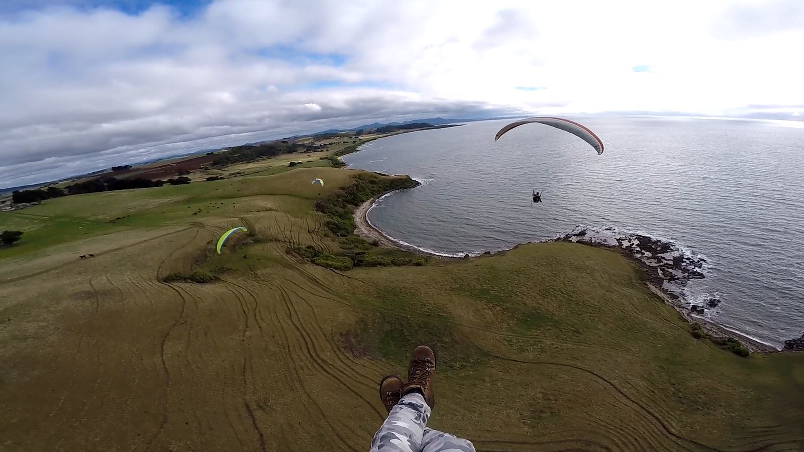
Figure 1: The Don, looking west. L-R: Steve Kent, Steve Overton, Dan Wilson. Pic: Dave Luttrell.
The NW Coast is blessed with a delightful mix of coastal flying sites that take pretty much any of the main wind directions, from west through north to east. The coast is also blessed with the most consistent flying conditions. While the rest of us suffer patchy seasons with low flight hours, the folk up NW are in the air. The familiar refrain of ‘The Don is on’, causes much jealousy down south. In the 2015/2016 season Dave Luttrell scored 120+ hours up on the coast.
An hour by road from the NW coast lies the Midlands region. This is an area of hills, plains, farms and forests that extends south towards the Hobart. It is bounded on the western side by the Central Plateau, and on the eastern side by the Eastern Tiers, a line of forested hills and valleys which extend to the east coast. The walls of the plateau, known as the Great Western Tiers, is the home of the launch site where a lot of XC flights originate - Tunbridge Tier. Indeed, the Tasmanian PG distance record flight by Macin Tobiszewski (93 km, 2011) commenced here. It is, however, PG5/HG Advanced rated and doesn’t take prisoners. The hills and plains surrounding it provide plenty of thermal sources and triggers, and new routes get tried each season. Check out this video by Gary Stockton.
There are several hills throughout the Midlands, and that closest to Hobart which deserves a mention is Kempton. With three launches, it is a reasonably benign site, suitable for lower rated pilots to cut their teeth on thermalling and improve their skills. Large XC flights (79 km – Pete Steane) have also originated from here, so on a good day with a NE/E air stream it is very popular, with sometimes nearly a dozen pilots in the air at one time.
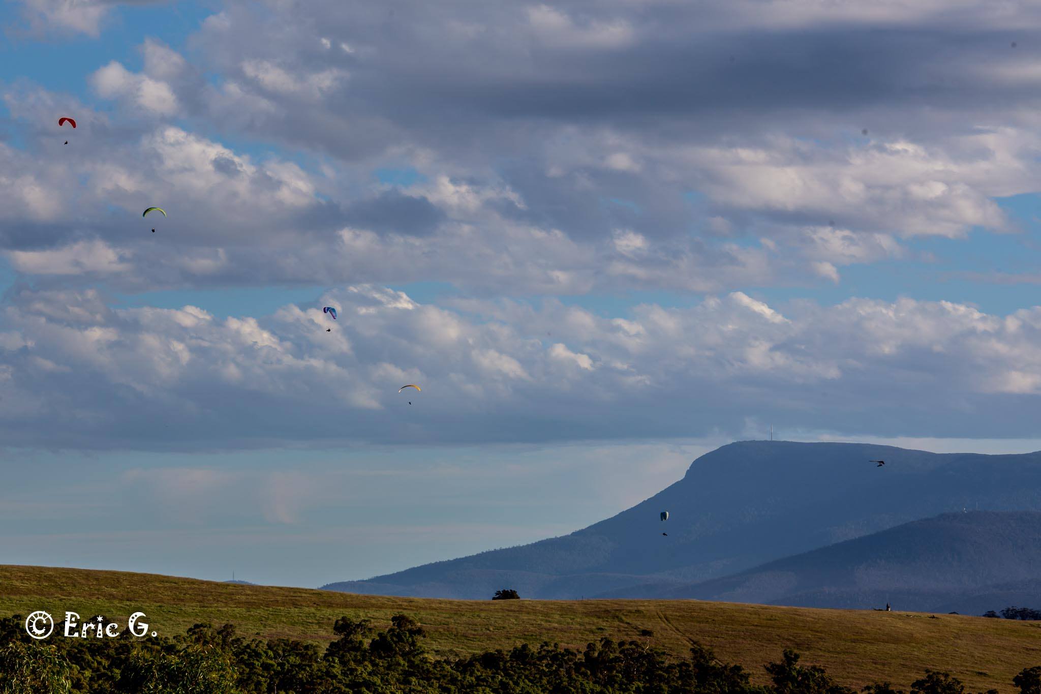
Figure 9: A small gaggle over Winton, with Mt. Wellington/kunyani photobombing. Pic: Eric Graudins.
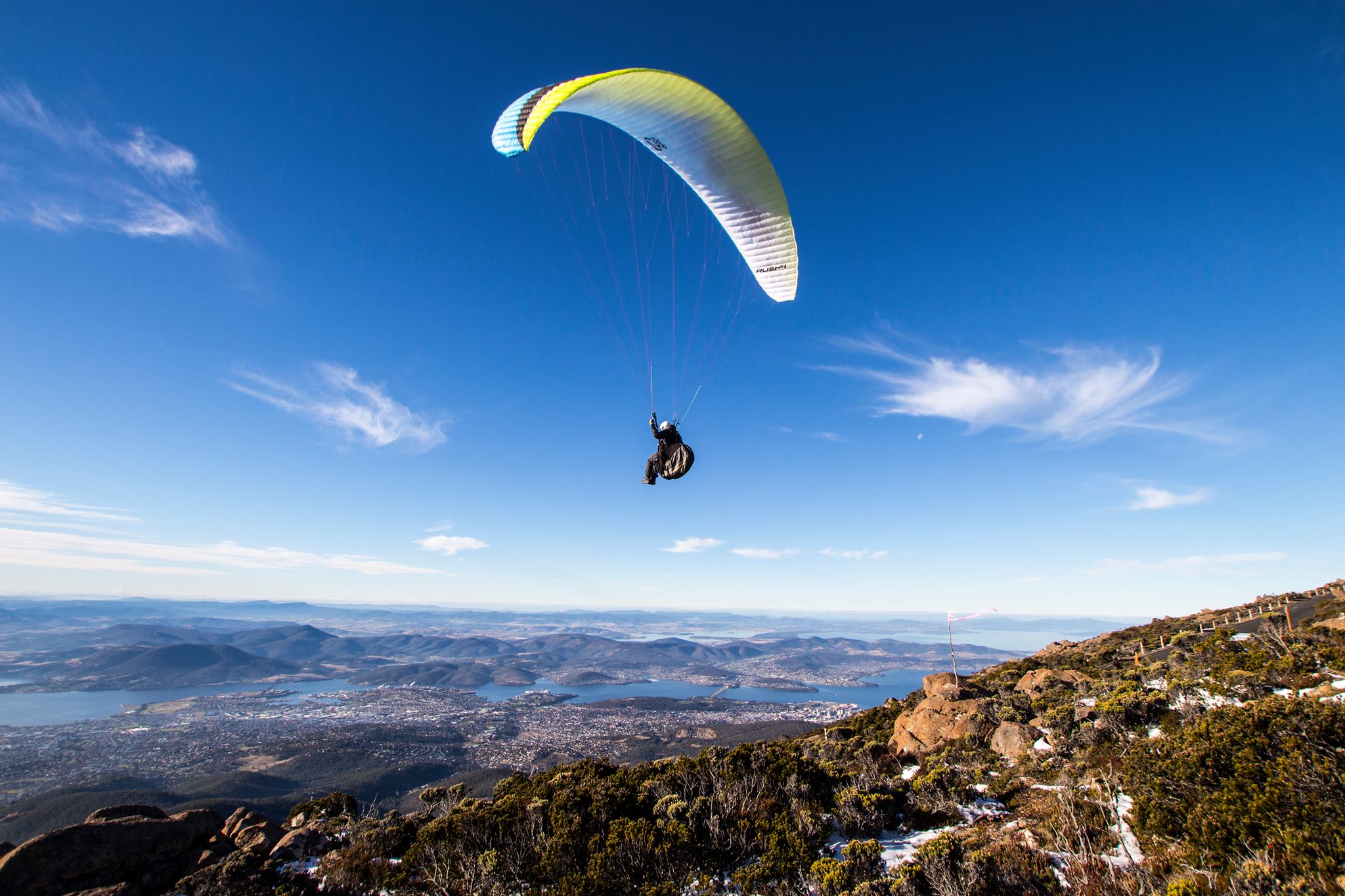
Once out of the Midlands you’re down South. Mt. Wellington/kunanyi dominates the skyline of Hobart and has a PG5/HG Adv launch. The flight is also the largest vertical descent in Australia. Just north of Hobart, at the gateway to the Midlands is Winton, a 5 km long crescent ridge. The southern bread and butter site, good for ridge soaring in not too strong sea breezes, also for thermalling. On the right day XC flights are very possible (max. from here – 67 km by Ky Wittich). It is rated as PG 2/HG Novice upwards.
Further to the east on the isthmus joining two peninsulas, is Eaglehawk Neck, with a low rated launch above the high tide mark, and a more advanced launch on the summit of the big hill overlooking the sea.
The Derwent Valley, running north from Hobart, through which the river Hobart surrounds descends, has several sites of varying grade. New sites throughout the Derwent Valley and in the Midlands are being discovered, all just waiting the right conditions to test the potential.
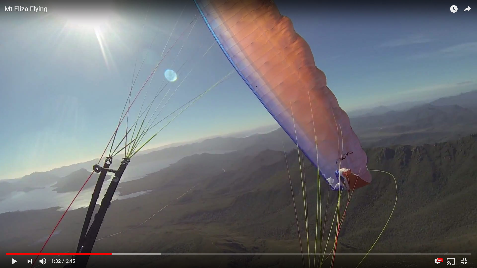
For truly majestic scenery, the hike and fly crowd should head to the South-west. For a peek, check out this video by Pete Steane flying Mt. Eliza
Flying in Tasmania (NW COAST)
Don Heads – aka ‘The Don’
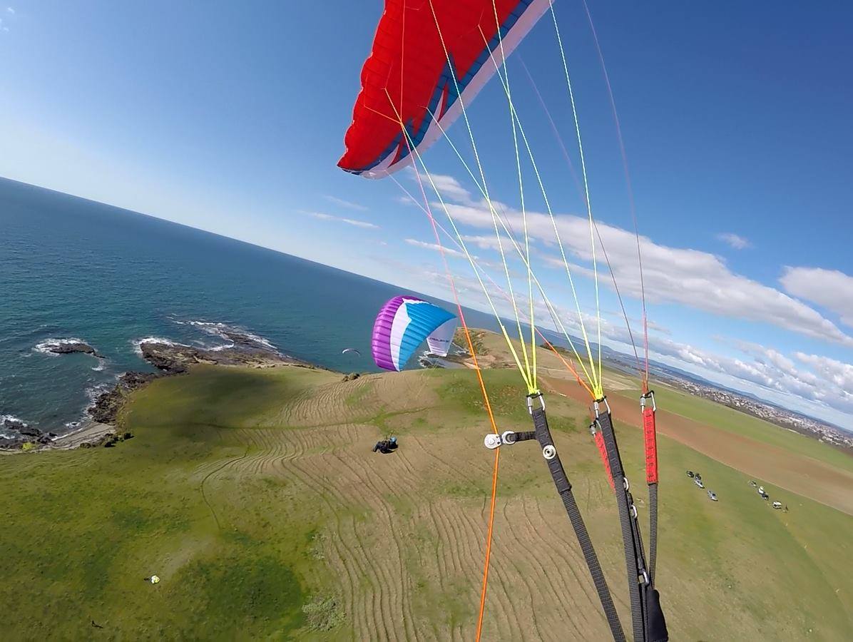
Figure 2: The Don, looking east. Gary Stockton (l), Iain Clarke (r). Pic: Dave Luttrell.
Fossil Bluff/Table Cape
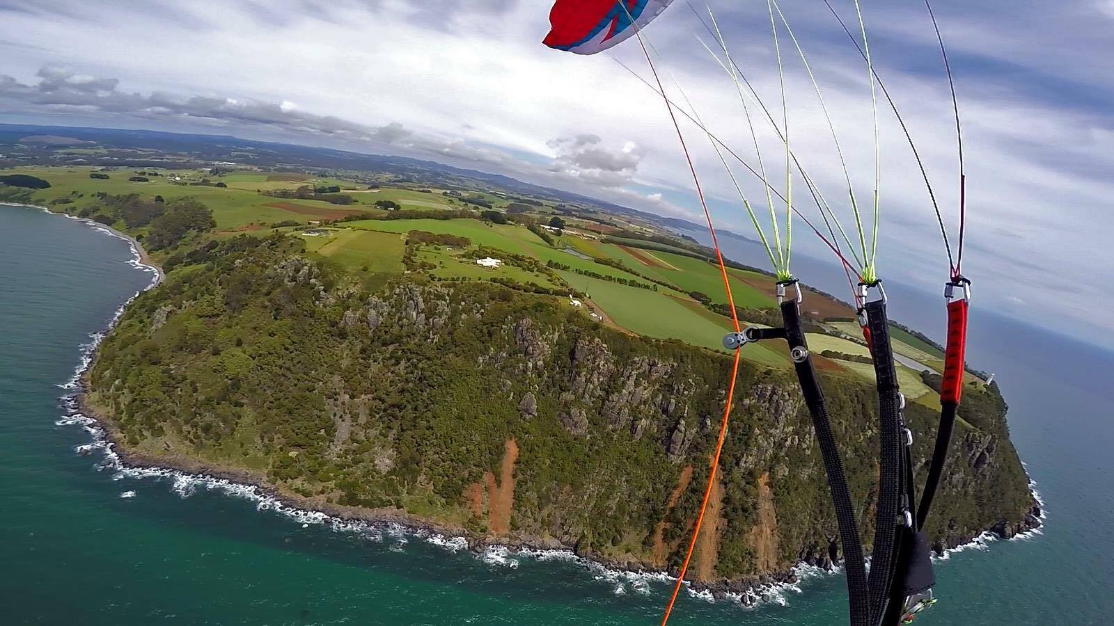
Figure 3: Table Cape. Pic: Dave Luttrell.
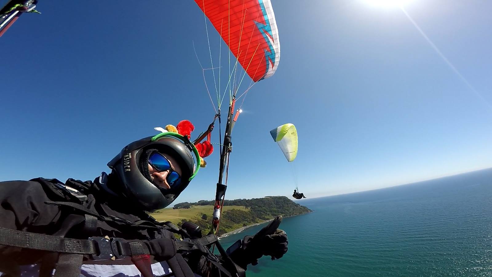
Figure 4: Christmas in Tassie, from Fossil Bluff looking west towards Table Cape. Dave Luttrel (l) & Steve Overton (r). Pic: Dave Luttrell.
Green Hills
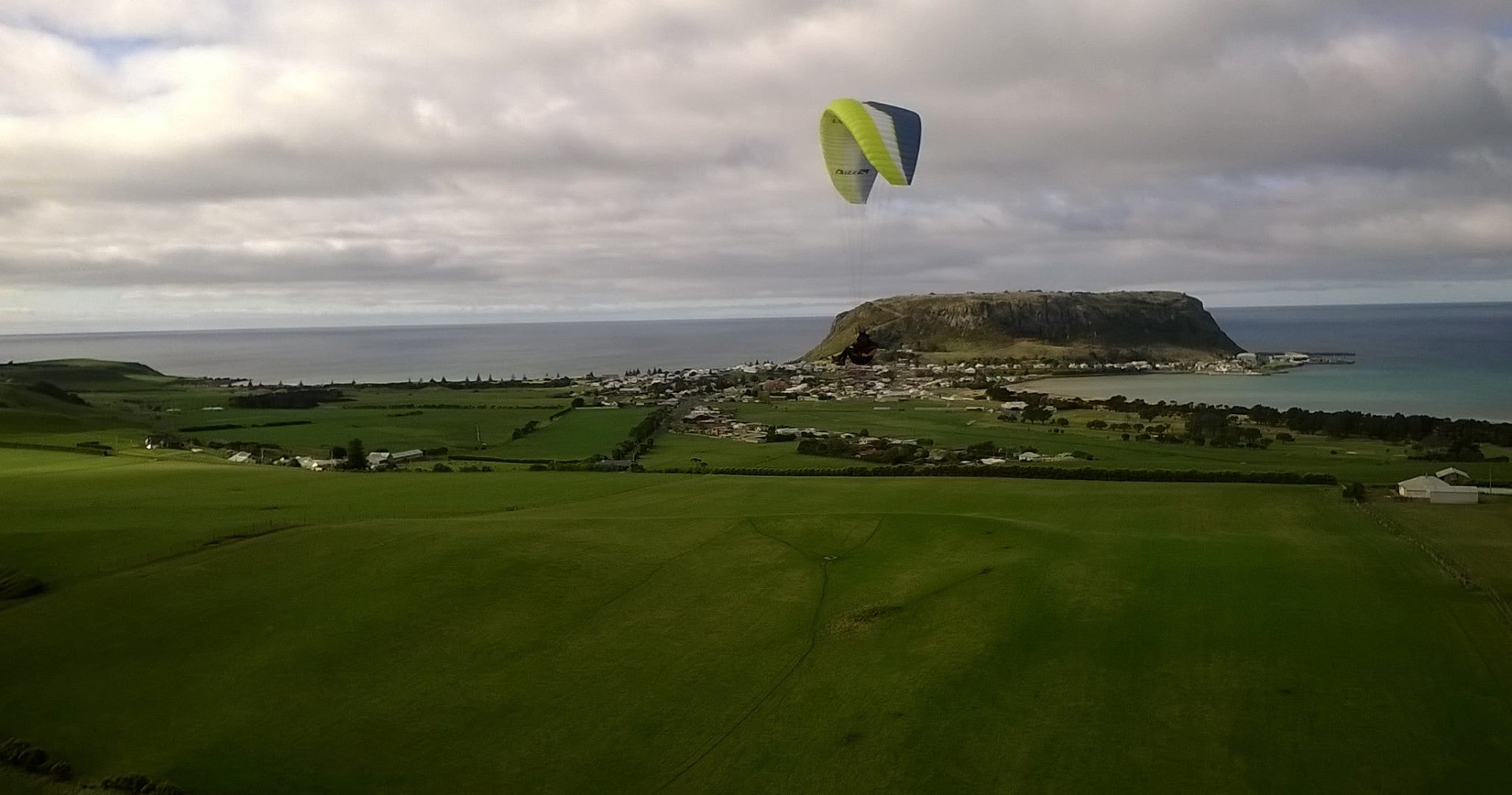
Figure 5: Steve Overton, in front of The Nut and Stanley, from Green Hills. Pic: Dave Luttrell.
Rocky Cape
Figure 6: Friends and foes – Wedge-tailed Eagles at Rocky Cape. Pic: Dave Luttrell.
Flying in Tasmania (MIDLANDS)
Tunbridge Tier
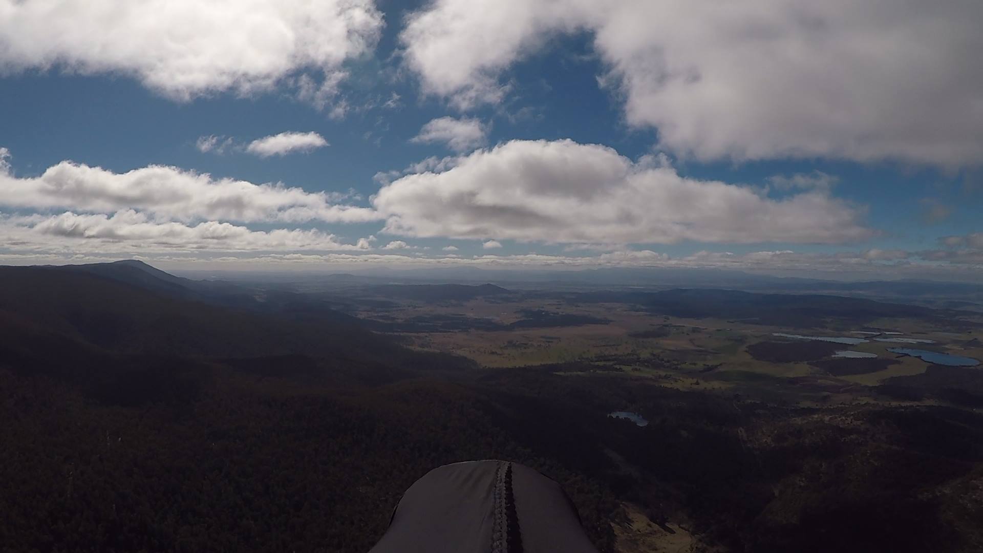
Figure 7: Heading north along Tunbridge Tier on the last day of Winter, 2017. Pic: Phil Joughin.
Kempton
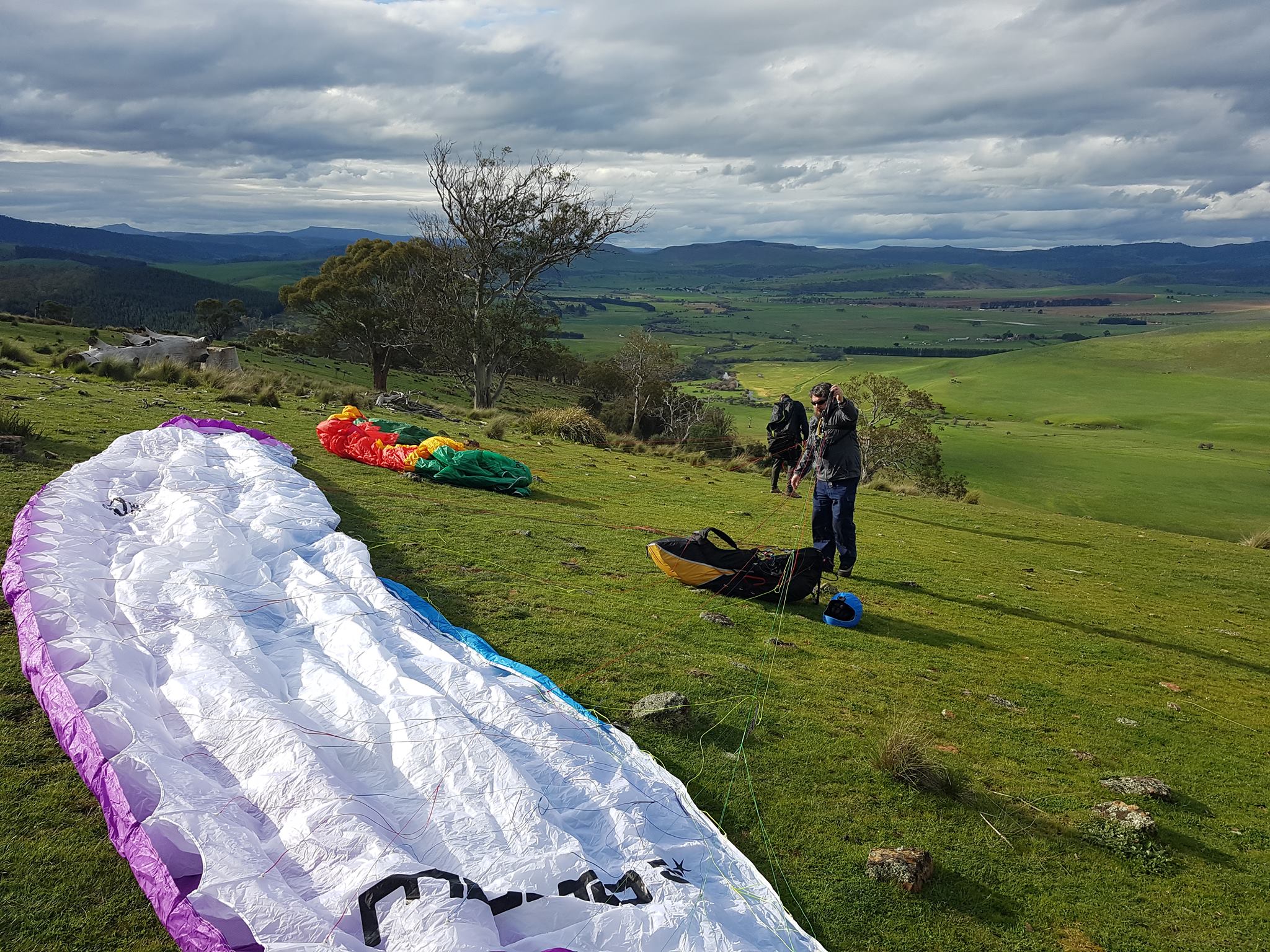
Figure 8: John Middendorf (l) and Iain Clarke (r) setting up at Kempton's Wilderness launch. Pic: Rob Steane.
Flying in Tasmania (DOWN SOUTH)
Winton
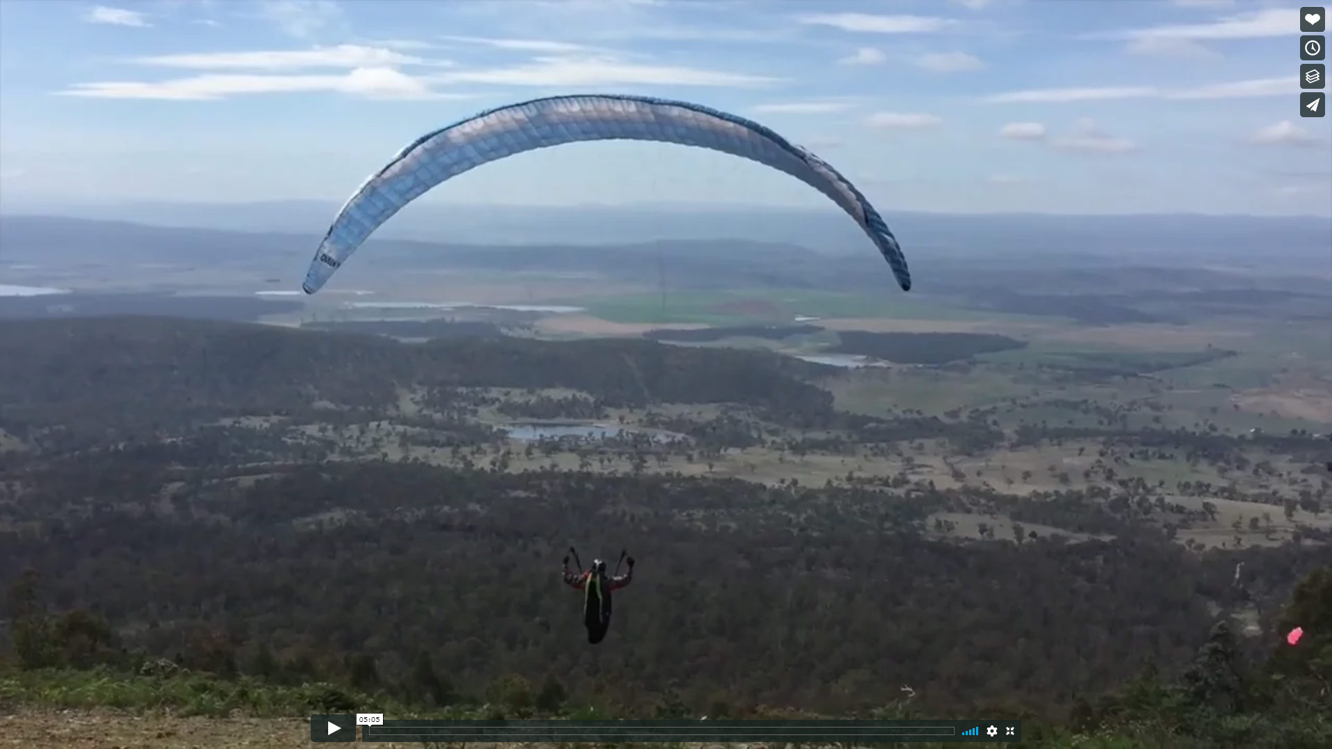
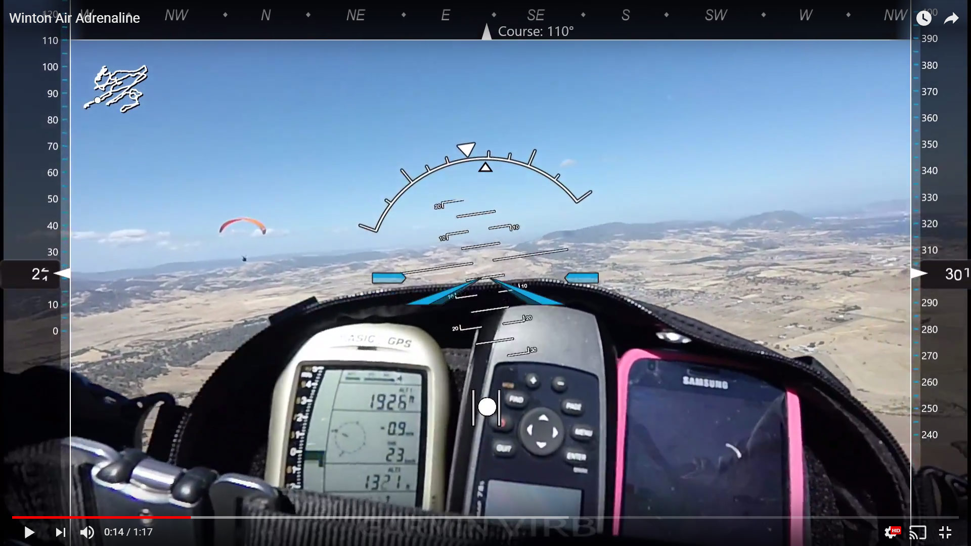
Video of paragliding in Winton
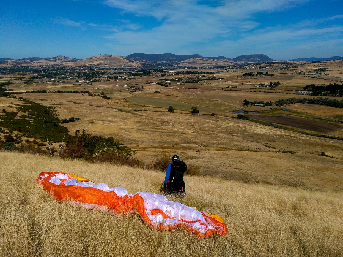
Figure 10: Rob Steane waiting to launch, Winton. Pic: Vit Peyr.
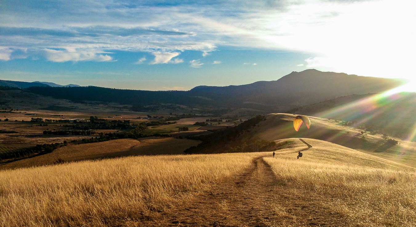
Figure 11: Lev Bodrossy top-landing in a Winton sunset. Pic: Vit Peyr.
Mt Wellington/kunanyi

Figure 12: Peter Colman on his way from Mt. Wellington/kunanyi, this Winter. Pic: Luke Denniss.
Derwent Valley
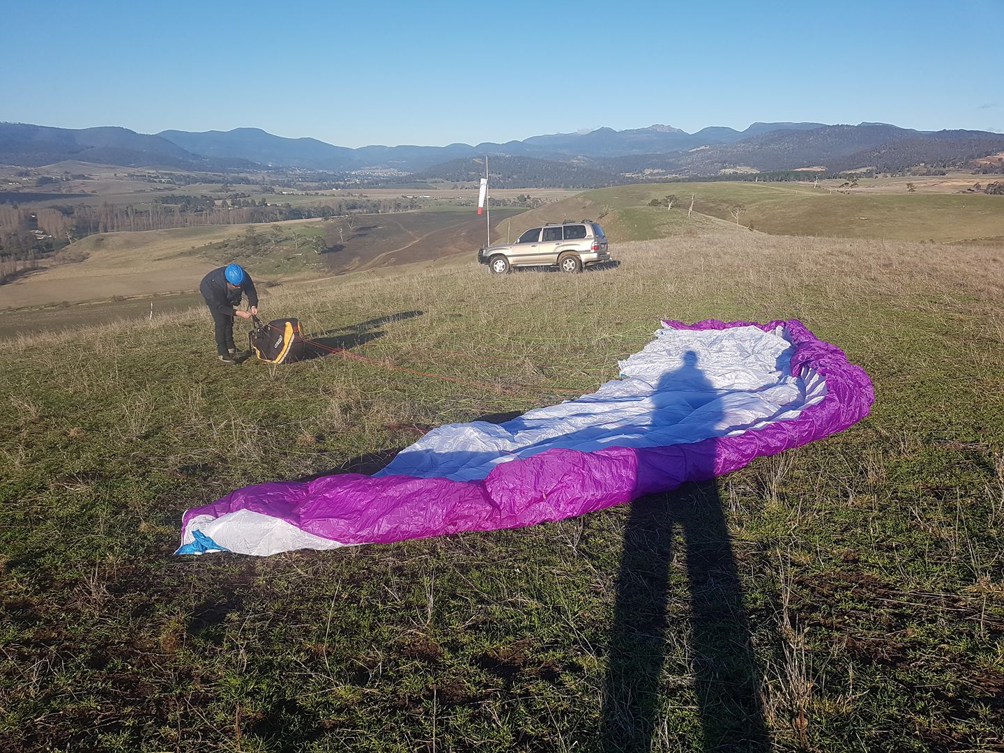
Figure 13: Iain Clarke setting up for a mid-winter sleddie. Glenleith, Lower Derwent Valley. Pic: Rob Steane.
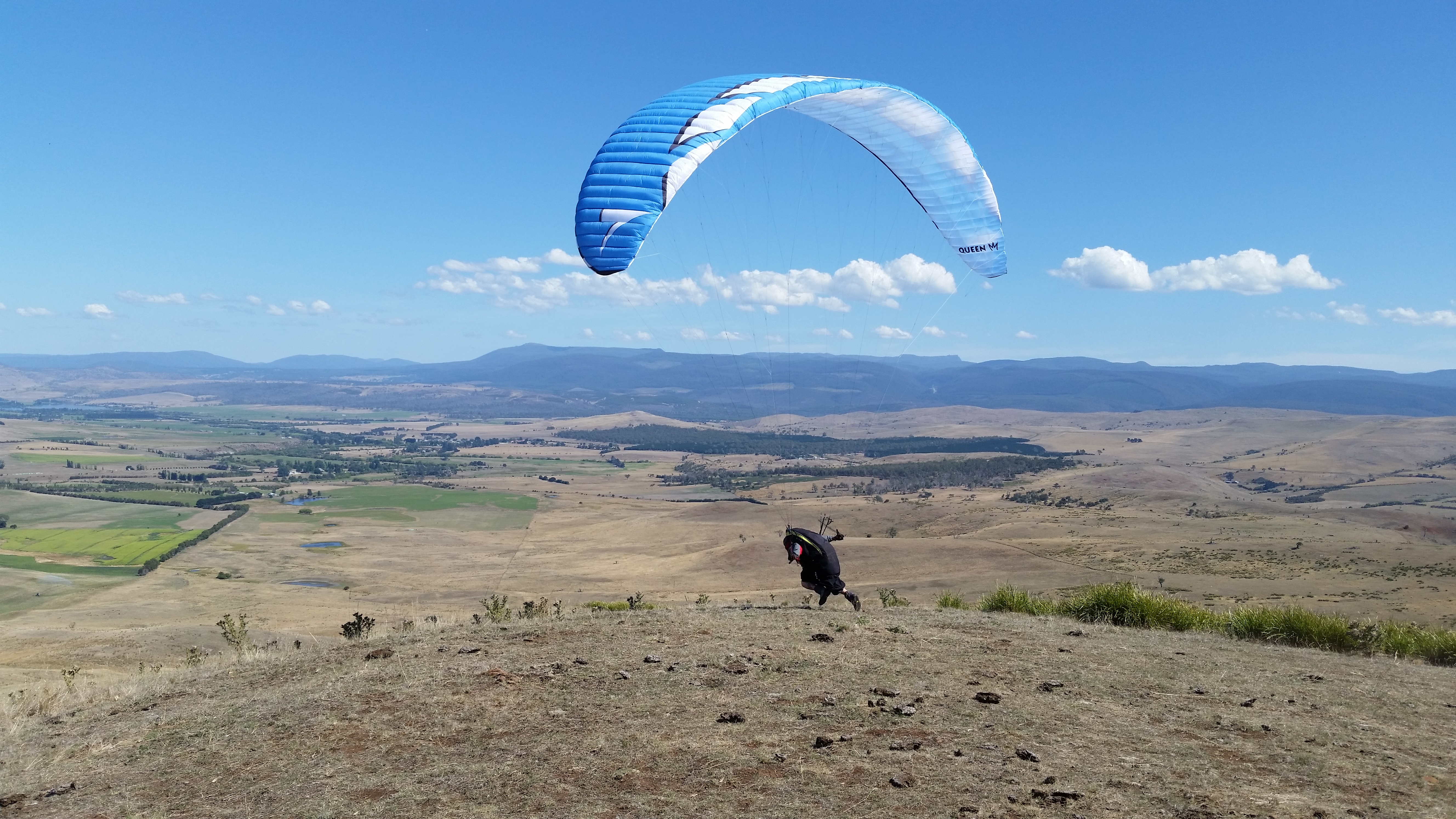
Figure 14: Ramon Brasnja goes for it. Home Hill, Ouse, Upper Derwent Valley. Pic: Iain Clarke.
Eaglehawk Neck
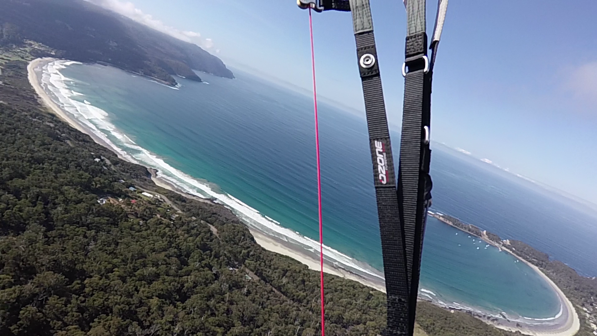
Figure 15: Pirates Bay, Eaglehawk Neck. Pic: Iain Clarke.
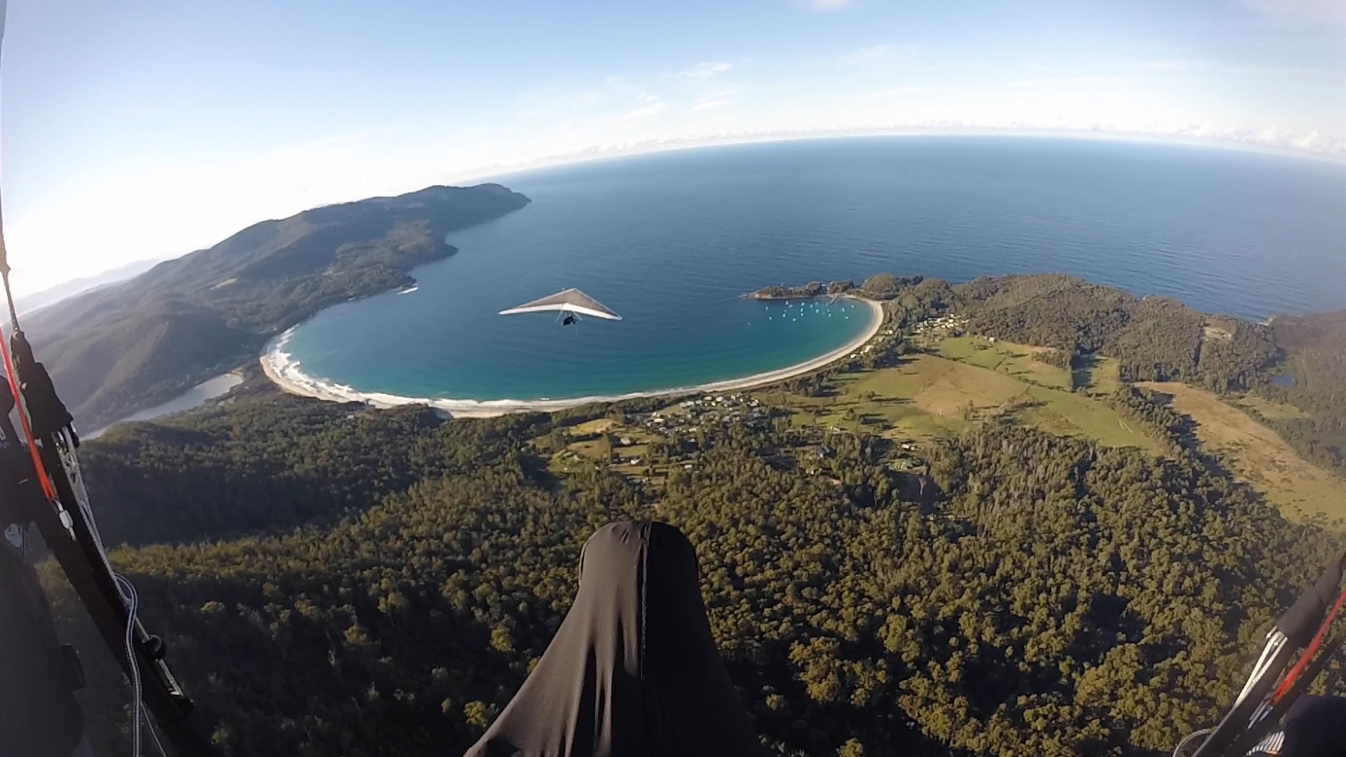
Figure 16: Mark Harrison headed to Pirates Bay, Eaglehawk Neck. Pic: Phil Joughin.
Flying in Tasmania (WILDERNESS)
SW Wilderness Area
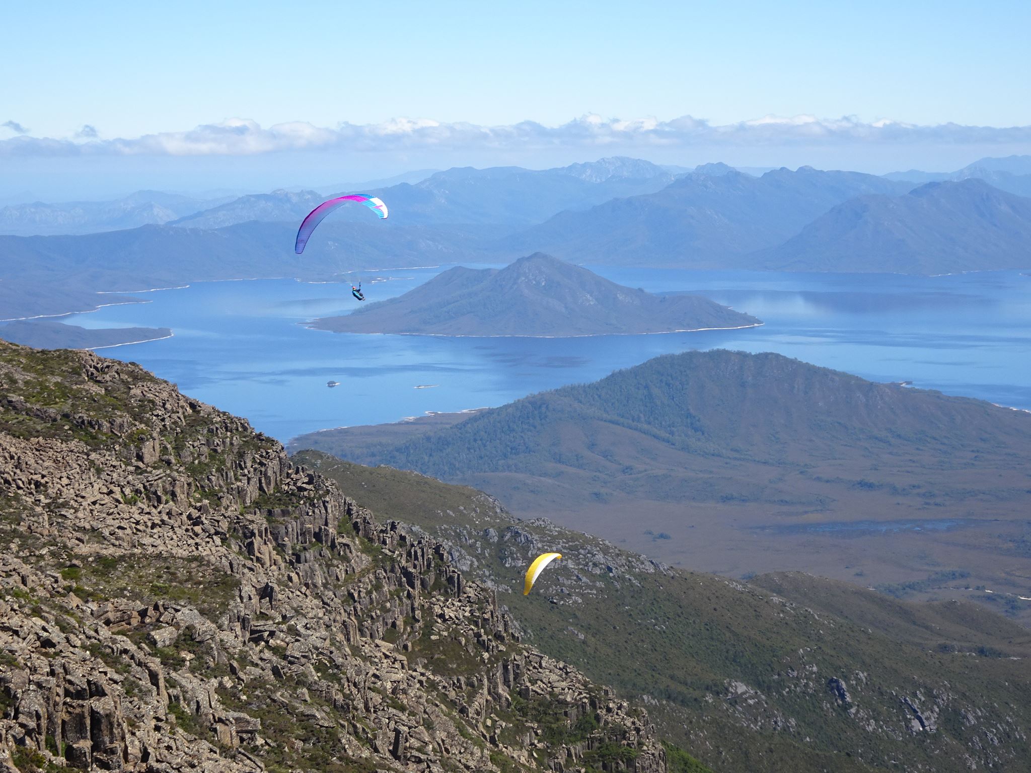
Figure 17: Loz Besnard (l) and Phil Joughin (r) over Mt. Anne with Lake Pedder behind, South-west World Heritage Wilderness Area. Pic: Nick Neynens.
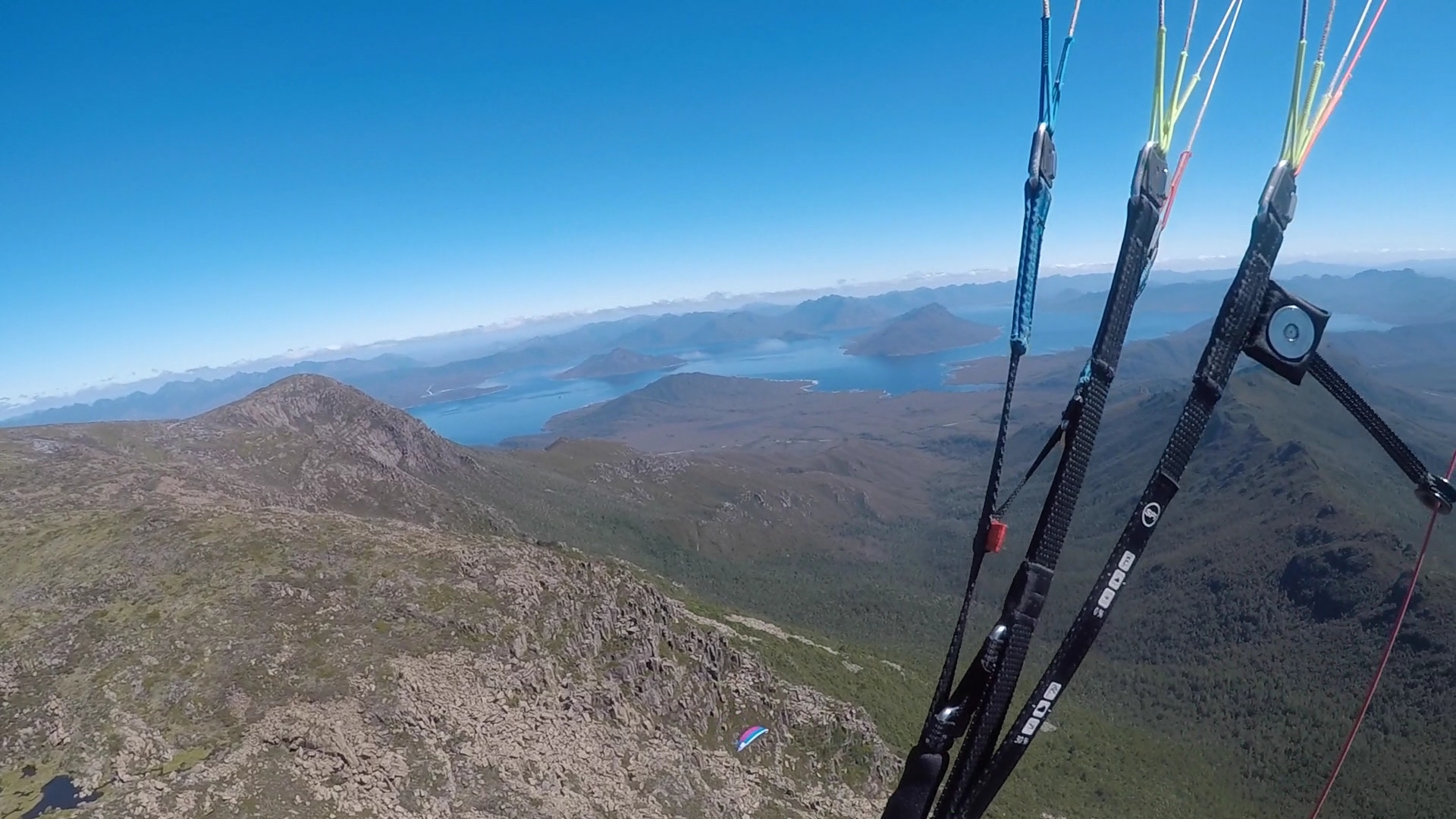
Figure 18: Loz Besnard over Mt. Anne. Pic: Phil Joughin.
FIND OUT MORE ABOUT FLYING IN TASMANIA
This THPA Facebook group is intended as a gateway for anyone interested in searching out Paragliding and Hang Gliding in Tasmania. Feel free to join if you need info about our sport.
Thanks to Iain Clarke and contributing photographers for giving us an insight into this hidden gem.

