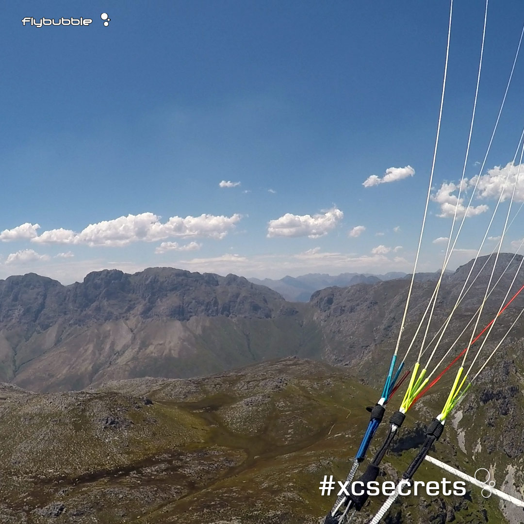
What do you see? Analyze the snapshot above yourself, before scrolling down for the answers.

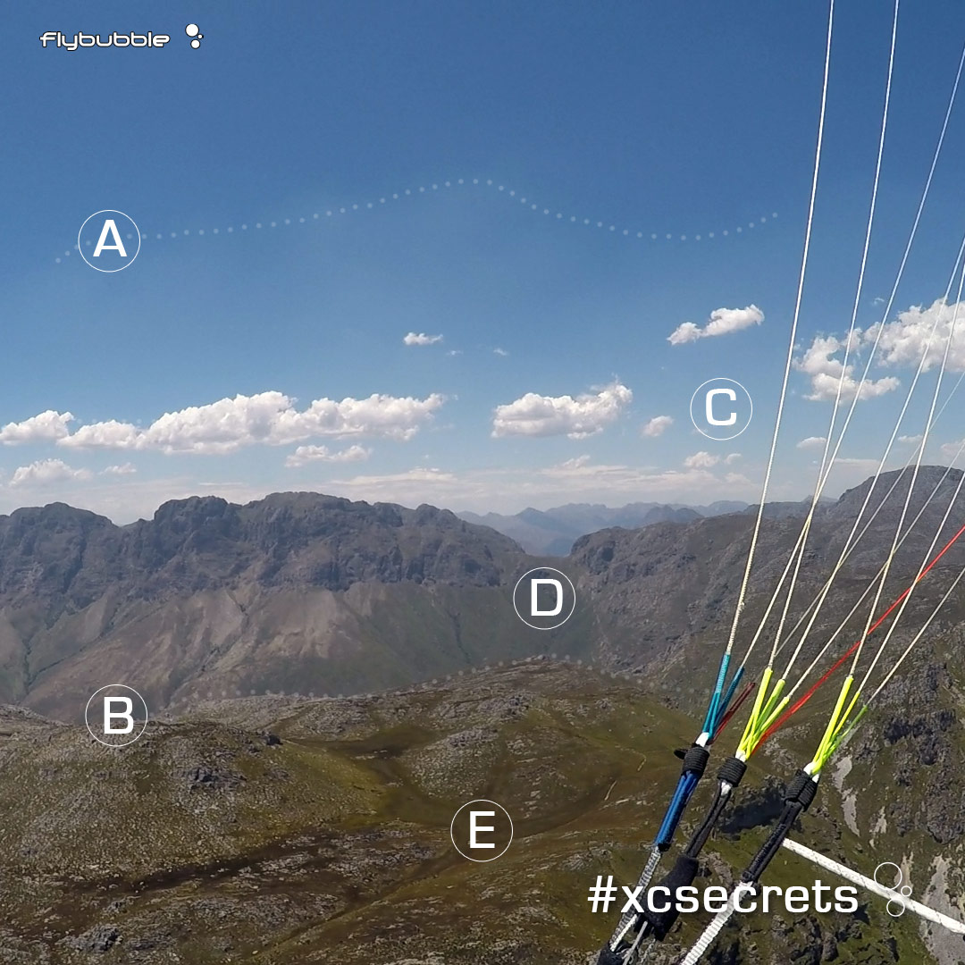
2. Haze domes under an inversion layer, near Stellenbosch, South Africa. It's around midday, so surface heating is strong (we can tell by the lack of shadows). Thermals should be going higher (we can see high clouds at about 2500m in the middle distance) but there must be an inversion where we are.
A. The top of the haze dome mirrors the terrain line, suggesting light wind at our level
B. The highest points in the surface cause the highest points in the haze dome and are the best places to aim to find lift on this transition. Although the slopes to the right might provide good lift too, they were in shadow all morning (hard to tell from the image) so the high point of the haze straight ahead is the best option now.
C. The clouds are too high and far away to be useful but do indicate the prevailing wind from the left. The broken pattern to the right of C suggests messy convergence or decay (no good). There are no clouds nearby, so nothing has broken through the inversion. We need to focus purely on the best ground sources at the moment.
D. This notch in the terrain will cause a venturi (acceleration of airflow). Maybe easier to soar here, but it would be in the lee of the spines to the left. Better to aim for the scooped rocky terrain beyond B to get a thermal, or to aim for the end of the valley to the right of D where the wind from the left will be forced up.
E. Hazardous landing. Although the vegetation looks nice for landing here, the position is bad - a low point surrounded by little peaks. I'd expect all the sinking air to collect here, thrown off by the thermals rising from all points around it. I'd also expect the wind direction to be very changeable. Rather get high before crossing this kind of undulating plateau.