


Into the blue: flying XC on blue thermal days
- by Shopify API

^ Invoking the Godfather of Soul, James Brown: Get up, get on up!
Blue day is a shortening of the term "blue thermal day" which is the origin of the phrase according to some gliding sources. This means that the "blue" description refers purely to the lack of cumulus clouds in the layer we get thermal activity in, not the whole sky. Simpler approaches look at the sky as a whole.
Those are the days I'm referring to when I talk about "blue" days, the ones with little or no cumulus and the sky is pretty blue without much in the way of cloud cover at all. It is this situation we'll be looking at flying cross country in. Sometimes on these days the lift can be weak, with little or no thermal activity, lacking the vertical currents often referred to elsewhere as convection. On other days there can be strong thermal activities, even with violent dust devils found close to the terrain.
 ^ Flybubble Carlo testing the Niviuk Ikuma 2 on a blue thermal day with only cirrus clouds above, no cumulus.
You might see contrails or some cirrus in the distance, way up high, but for the most part there are no real signs of those puffy, fluffy cumulus clouds that we would normally associate with thermals. This makes cross country flying hard for us, as one of the best indicators of possible lift, the cumulus cloud at the top of the thermal, is now no longer there to give us a clue. We then find that the way we plan our transitions one, two or three steps ahead is now gone.
So how do we make the most of these 'blue days' when we're trying to fly cross country? Here's some background and some tips, hopefully it helps you understand what's going on and provide some tools to use when you next find yourself out on a blue day.
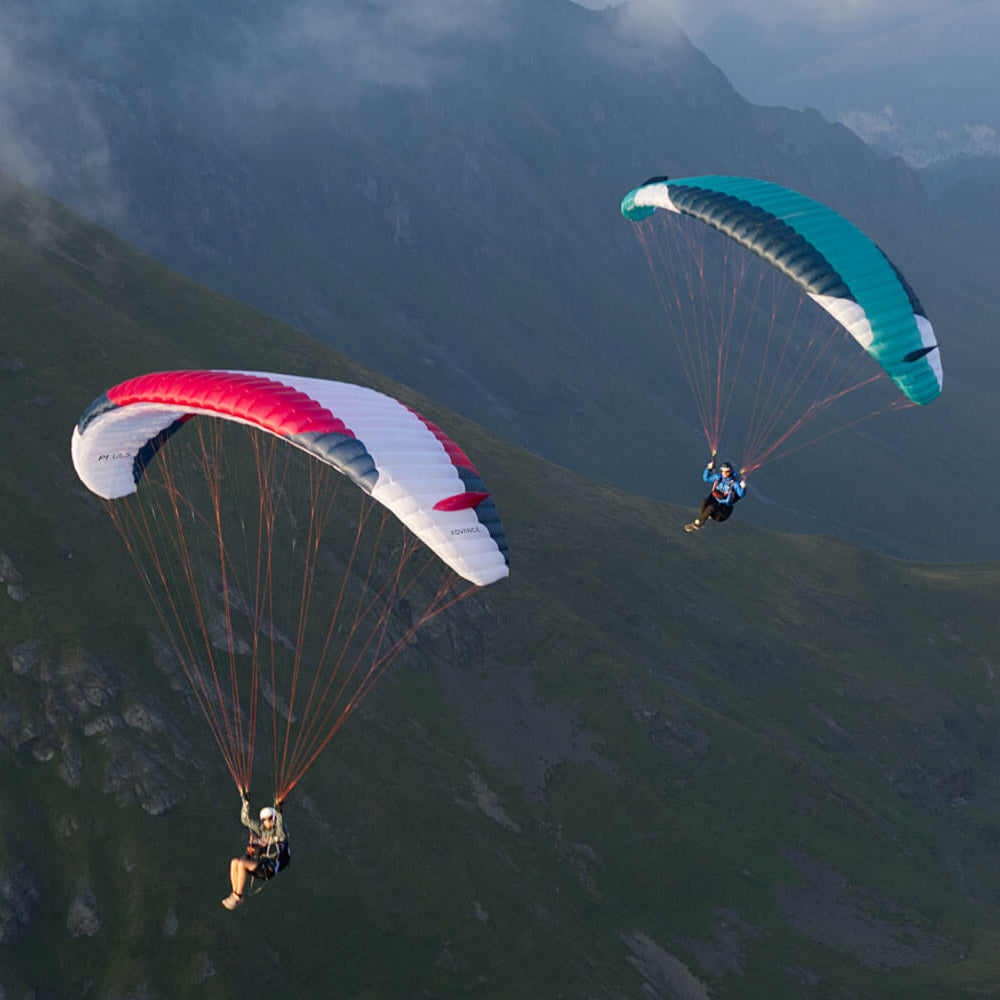
 ^ Flybubble Nancy testing the Advance IOTA 2 on a blue thermal day with good thermals yet no clouds at all.
Why is it blue?
Primarily it's blue because the air is dry, not saturated. Saturated air cannot hold any more water vapour and so the gas state condenses. Water droplets start to form around dust particles, pollen and such and then we see clouds start to form. For an illustration of this put the kettle on then watch as it boils. As the steam leaves the spout the first hotter section is invisible water vapour, as it rises it cools and condenses then you can see the cloud of steam, as it cools further and diffuses into the room it evaporates back into water vapour.
 ^ Morning inversion near Ager, Spain. The heat from the sun has yet to make it to the air in the ground layer.
A quick reminder of the technical terms, the sun heats ground by radiation, that's where the heat goes directly from one place to another. The ground heats the air by conduction, which is how heat transfers between two things that are touching, then the mixing process of warm air rising is the convection. The centres of the rising convective currents are thermals, and this is why documents in gliding refer to the thermal process as convection.
The amount of water vapour in the atmosphere is measured as humidity, low humidity being dry. The big deal with humidity though is that it is relative to the temperature of the air. Warmer air can hold more moisture before becoming saturated.
 ^ Flybubble Simon flying his Phi MAESTRO on a blue thermal day with strong thermals and only few cirrus clouds above.
Consider the skies of the tropics and the desert over the summer, the tops of the clouds are both circa 4000m and the surface temperatures are both in the high 30's but the cloud base is much lower in somewhere like Florida where humidity is higher. The drier air of say, Texas or central Turkey, has to go up much further before it gets cool enough to condense.
 ^ Dry day at 3,300m in the Dolomites. Very few cirrus clouds above. No cumulus clouds in the vicinity; some in the far distance.
Why does it go blue?
Blue days happen because the upper level of thermal activity is limited, thermal activity is when the sun heats the ground and this warms the air. The warm air then rises because it is less dense, cools and expands as it does so, but as the air cools so the relative humidity increases and if it goes far enough the moisture will condense and cloud will form.
What happens on the blue days is the thermal currents are capped by an inversion before the condensation process can happen. Convection and thermals are still there but there are no clouds to mark them. You'll need to pay attention to other signs like birds, scents, and lofted debris in the absence of cumulus.
 ^ Feltre, Italy. The day is going to go blue; those cumulus clouds won't last.
What may also happen is that earlier in the day there may well be small cumulus clouds, these get thinner and flatter and eventually disappear as the cloud base rises through the day. The theoretical point at which cloud would start to form is then above the level of the inversion. This also happened on a day trip to Wales that I filmed for my three mins max video a few years back.
Will it stay blue?
It's possible that as the day progresses the inversion may rise above the theoretical point at which the cloud forms. On these days that start out blue you can observe hazy areas before actual cumulus start to form.
The key to understanding what type of day you are in for relies on looking at the tephigrams. We won't go into these here but there are some great weather books and online resources explaining all about these. For example, gliding pilot and meteorologist Gordon B Dennis has written an excellent guide entitled Tephigrams: What you need to know (pdf 7.3 MB). Mastering Paragliding book author Kelly Farina has made a series of videos entitled "Rough Guide To Skew T" explaining stability and layers (part 1). If you've been to any of my freeflight talks you'll know how I reference the trifle too.
 ^ The first "fair weather" cumulus clouds finally starting to form later in the day, after hours of thermaling.
How do we make the most of blue days, then?
The trick to success on the blue days is a mixture of faith, anticipation, a little luck and of course, stacking the odds in your favour. I've had two notable blue days this year, and managed to get the camera out too. For the first day in the Malverns with Luis and Andy cumulus started to form later in the day as the inversion weakened and then broke. As the temperature profile of the lower atmosphere changed though the day the thermals became stronger, more cohesive and then marked by haze. Classic brown field triggers and boundaries worked in an almost textbook fashion.
Look again at the cumulus forming picture above, look at that field, in the bend of the river, in the lower right of the picture (it has the haze dome above it as the wind is from the right of frame). It can be hard to see this when you're flying, because you see so much and need to sift the relevant from the not, but this is the sort of detail you'll need to spot on a blue day.
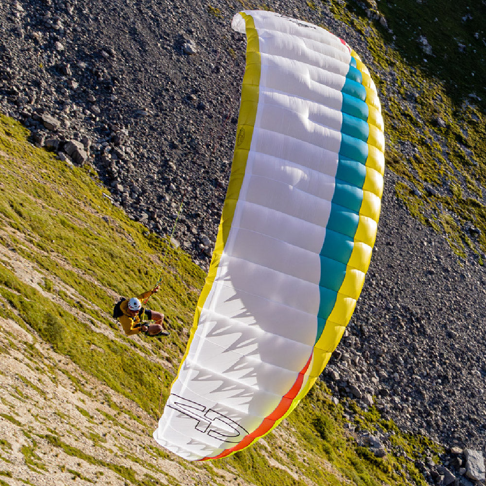
 ^ Flybubble Carlo testing the Supair SAVAGE and Advance IMPRESS 4 on a blue thermal day with only alto stratus clouds in the distance yet good thermals all around.
Out in the Dolomites we had moderate easterlies and an increasingly dry airmass, there was cumulus on the first day but the second day, with the air being dryer, the sky was blue. Gullies in the lee and sunny rocks surrounded by green still reliably worked though. Climbs on both days went to similar altitudes but you had to pay more attention to other gliders, birds and aim for the ground sources.
 ^ Stability is more about lapse rate than pressure. Blue thermal days can be booming too!
There is a saying about flying on blue days that if you ran, blindfolded, through the forest then you would eventually hit a tree. In gliding terms this means you just fly straight and wait for the vario to indicate lift. But there is something to be said for feeling your way and also recognising the climb for what it is.
Some of the commonest mistakes include turning too early when you find lift so you end up trying to core the mixing air at the thermal's edge. Also, failing to turn tight enough when low means the thermal could break away and rise up without you in it, thermals expand as they rise so you can widen the turns as you climb but low down and close to the terrain you need to commit to the crank and bank but with enough finesse so that you don't stall and spin. Doing this kind of flying on a glider / harness combo you know and trust is best.
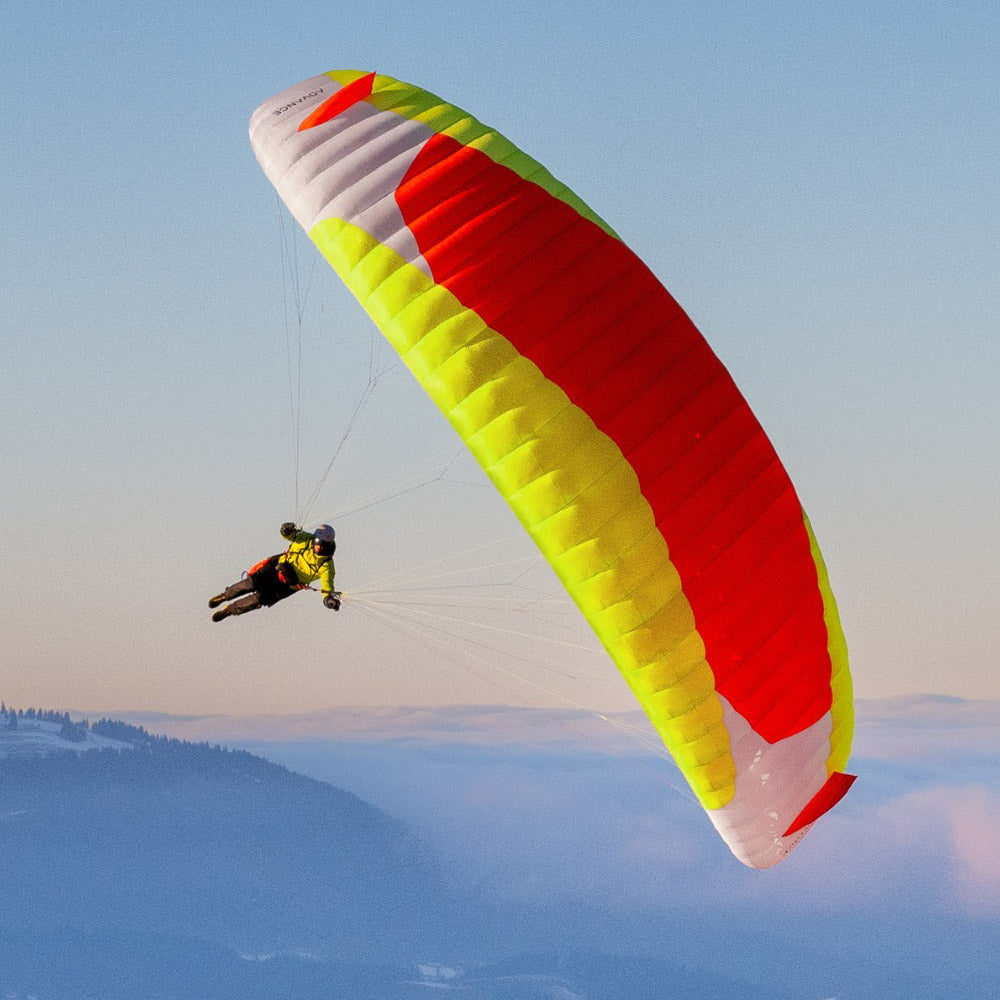
 ^ Flybubble Carlo testing the Advance PI 3 on a breezy blue thermal day with only cirrostratus clouds above, no cumulus at all.
Another thing to bear in mind is that if your last climb was a 2m/s one then the next one really ought to be in that ballpark too, so when you find the zeroes or ones you know you need to explore it.
Ultimately, reviewing your flight and comparing your track with others will highlight what you did that worked and what you can improve on. Are you turning tight enough, do you find the core quickly, are you really flying straight through sink, are you really flying faster through sink to leave it more quickly?
 ^ Flybubble Carlo testing the Supair SAVAGE and Advance IMPRESS 4 on a blue thermal day with good thermals yet only cirrostratus clouds above.
Sometimes you just get lucky but the more you practice the luckier you get, so don't let a blue day put you off!
Brought to you by Flybubble

Like what we do? The best way to thank and support us is to buy gear from us and recommend us to others. Review our service on Trustpilot and our products on Flybubble Shop. You can also subscribe to Flybubble Patreon. Thank you!
- Posted in:
- Articles
- Flight Skills
- XC Secrets


