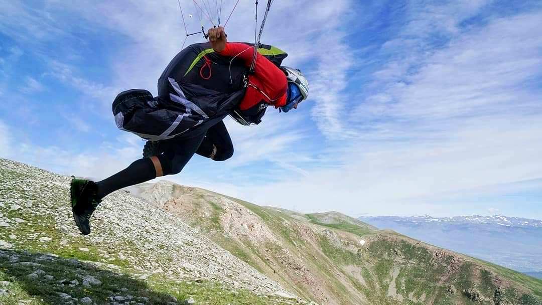
No matter your level of experience, sudden bad weather can 'take you out'. It is the most important risk to manage.
Free-flyers are exposed to various risks coming from different aspects of the environment. We are sometimes tempted to fly in less-than-ideal conditions. By identifying where the greatest risk for the day lies, you can make a calm judgement about the situation and take precautions by increasing your safety margins in each of the other aspects.
The first thing you can do to actively reduce the risk is to study the weather forecast. It sounds simple, but it gives you an idea of what to expect. Let's say the weather forecast predicts a cold front coming through in the morning, with the wind swinging through 180 degrees thereafter, and strengthening to 40mph. If the day dawns with a light 10mph, you already have the warning bells ringing: the more changeable the weather is, the higher the risk is, because the predictions and your own judgement on site are less accurate.
It’s important to study gliding forecasts like RASP, because common-or-garden forecasts are for the common or the garden – at ground level. What we need to know is the expected wind at hill height and above. As the day progresses and thermals mix the airmass, the wind at altitude can be drawn down into the lower layers, so any strong wind within 2000ft of the terrain is a risk.
If the wind at altitude is notably different from below, expect turbulence from the mixing. Such days are usually safer late in the day when mixing has helped to normalise the wind.
In the UK, due to all the surrounding water and wet climate, the air is moist enough to form a cloud with the slightest hint of lifting air. So when the sky is blue (no clouds), it usually means there is a high pressure and the airmass is descending. This process warms the air and creates a temperature inversion. This is usually a low risk day, hazy and not very changeable, but the presence of an inversion can cause the low-level wind to accelerate over high ground. However, if it’s really sunny, you can expect narrow thermals with pronounced sheer (rough edges).
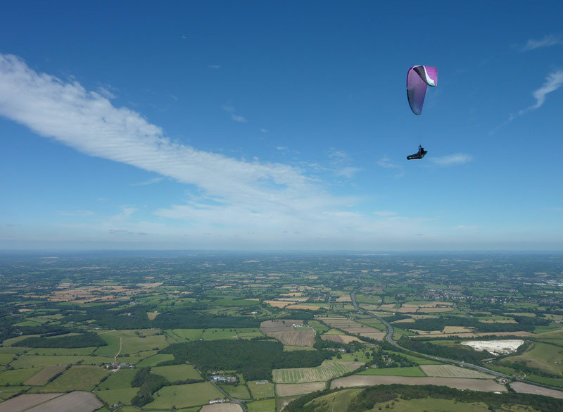
^ High pressure flying, with inversion layer haze, and blue skies
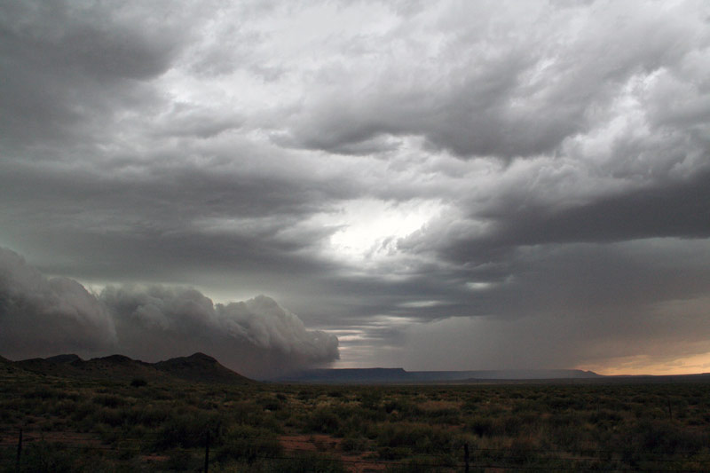
A low pressure leads to convergence, and lift. Although this is good news for thermalers, if there isn’t an inversion somewhere close above cloudbase creating a ‘cap’ on the day, the vertical development can become extreme. This leads to cumulonimbus, with associated risks of excessive lift, gust fronts, and rain. Low pressure days are more changeable.
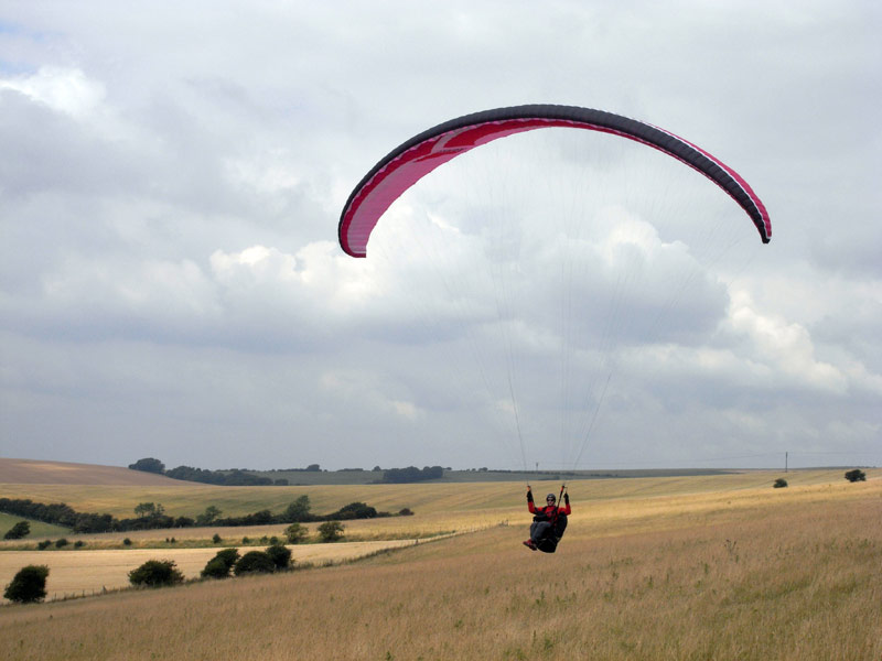
^ Low pressure days often end prematurely due to overdevelopment of cloud
A sunny low-pressure day will produce a strong heating of the land and probably big towers of cloud inland, which will suck in a strong seabreeze. In the flats this is usually only a moderate risk, but it can catch you out at lunch time if you are still soaring the hills in the land-breeze. Prepare for a rapid change in wind direction and strength.
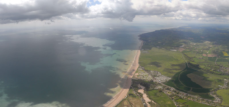
^ Up close to the sea breeze front
Any weather front will bring changes, and usually a lot of cloud. It’s best to fly after the front has passed.
Finally, rain is a risk of its own. A wet wing is dangerous to fly, and rainfall makes cold air which makes a gust front when it strikes the ground and can trap you against ridge.
Before heading to the hill, study wind reports like wendywindblows.co.uk, and do it again when on the hill to track how fast things are changing.
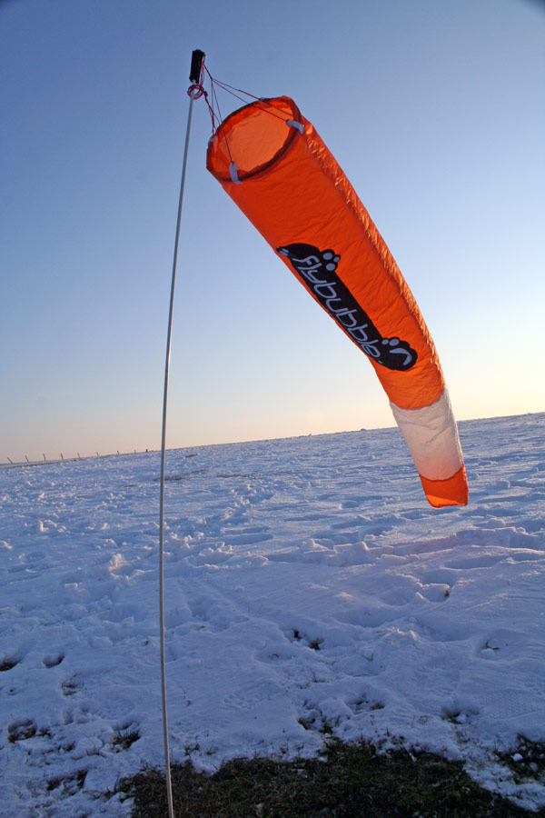
^ Windsocks. The best kind is the one that shows the wind you want. This is Flybubble’s popular NE10 windsock. Limited stock.
Once on the hill, put up a windsock. If it's ranging from left to right, the wind is variable, which increases the risk of turbulence.
If the wind is gusting from 5-20mph, the risk of turbulence is again higher than a steady 15mph.
Have a look at the average direction of the wind. The straighter it is (perpendicular to the ridge line), the more penetration problems you have when trying to escape from being blown over the back. If the wind is skewed to one side, your risk of being 'blown over' reduces but the risk of turbulence increases.
Lastly, the wind strength is vital - the stronger it is, the fewer other risks you can tolerate, because things go wrong really fast.
So you can see if you have a strong steady wind on the ridge it might be medium risk, but if it was predicted to be light from the other direction (ie. it’s changeable), it’s high risk. If you have a moderately gusty wind you might be able to fly if it’s coming straight on (medium risk), but if it’s crossed as well, it is high risk.
In this kind of ‘red-light’ situation, you cannot afford to have any other risk areas in the red. First time at the site? Don’t fly. New wing in a new class? Rather go ground-handle. But if this is your local site, it has a safe topography and you’ve been flying lots on a trusted wing, everything else is ‘green-lit’ and you can focus on the single risky element. Thus if you choose to fly in a medium risk state (strong wind) you won’t be caught out by a combination of surprises.
^ Weather. Don’t let it catch you.
Next issue we'll look at how your choice of wing affects your risk. In the meantime, keep a beady eye on the weather forecasts and study how they differ from what you find when you get to the hill. We’d recommend checking The Met Office, RASP UK, XCWeather and a synoptic chart so you can start to identify fronts and their effects.
© Flybubble Paragliding
Brought to you by Flybubble

Like what we do? The best way to thank and support us is to buy gear from us and recommend us to others. Review our service on Trustpilot and our products on Flybubble Shop. You can also subscribe to Flybubble Patreon. Thank you!