


Skytraxx 2.1 Flight Instrument Review
- by Shopify API

The Skytraxx 2.1 is a small flight instrument with extensive capabilities. As a mid-priced unit it is aimed at the ambitious cross country pilot, offering classic altivario displays and all the essential data that comes with an integrated GPS: groundspeed, wind (thermal drift), tracklog trail and a moving map showing nearby waypoints and airspace. The design of this instrument matches the needs of a broad range of pilots.
Although freeflight pilots often use their phones to run flight apps, this usually requires a power pack and cables and leaves you with a screen that is not optimal for reading in sunlight, is delicate and can be tricky to operate with gloves. The Skytraxx 2.1 has none of those limitations, being compact, robust, easy to operate one-handed with the raised button controls (no touch screen). The low-power-consumption screen will display your essential flight information for over 40 hours. Even if you’re used to running a two-instrument cockpit, you’ll find that this little instrument makes most other units redundant.
It is designed to make things simple for the pilot. For instance, it updates itself over Wifi. Many pilots don’t know about firmware updates and their airspace files are also years out of date. The Skytraxx 2.1 will remain current, assuming that you switch it on occasionally at home, probably when you charge it. You only need to enter your Wifi login details once, and thereafter it does the updates automatically. If you want to download your flight tracks at the same time, connect it to a PC using the USB-C cable provided, and the instrument pops up as an external drive with obvious folders.
But even if you did nothing technical and just switched it on, it’s completely ready to fly.
Skytraxx 2.1 mounting
First things first. How to mount it? As you can see in the image below, the rear of the Skytraxx 2.1 is a clear, flat space, ready to attach the included sticky-back hook-fastener strip to.

This means so you can then attach the unit to any suitable mount/surface with loop-fastener on top.
For example, for paragliding, you could use a suitable paraglider leg or harness instrument mount or a flight deck (cockpit), as long as they have a suitable surface with loop-fastener on top.
At the time of writing, suitable mounts we can highly recommend for the Skytraxx 2.1 are the High Adventure Izipizi Harness Holder and Naviter Deluxe Leg Mount. These will hold the device securely, and in a good position for viewing and operation. If you'd rather have a matching Skytraxx mount, and don't mind paying more for the privilege, the Skytraxx Comfort Leg Holder is also highly recommended (similar to the Naviter Deluxe Leg Mount).
Check our current range of Flight Instrument Accessories.
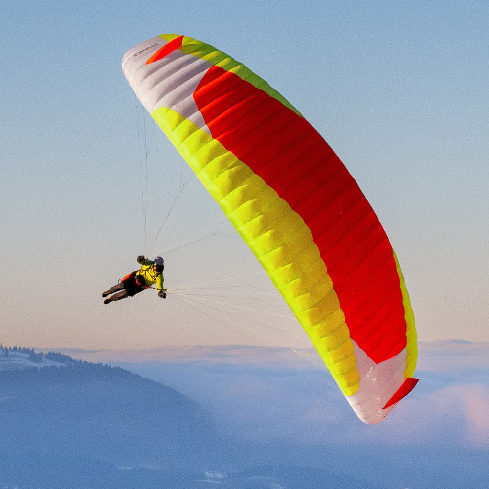
Skytraxx 2.1 in the air

The vario is superbly accurate, nicely responsive, measured, and easily customisable should you prefer different audio tones (just select one from the menu). I evolved with Flytec instruments (steady, linear vario responses) so I felt instantly connected to the Skytraxx audio language. I could understand straight away what the air was doing; I never got the feeling that I needed to ‘interpret’ the vario’s idiom … it simply spoke the truth.
The screen is small, at 7 x 5cm, but the strong contrast and simplified information make it superbly clear on a flightdeck. There are various screens which you can activate, and others you can add if you want to. The audio volume is adequate but not particularly loud.
The GPS acquisition seemed amongst the fastest, and the groundspeed and thermal drift algorithms where very accurate.
Skytraxx 2.1 on the screen

Although the first screen (Classic) presents almost everything you need in a glance, you can flick through the various screens with a quick press of the right button. In my carousel of screens I have: Classic, Thermal, Map, Airspace, Cross section and Task.

The Classic screen has a compass rose with wind indicator, task arrow and track dots. With this one simple gauge you can see where you’re going, where the wind is coming from relative to you and watch the zoomed in position breadcrumbs to help you map a thermal. Beside this, altitude, vario, groundspeed and windspeed complete the picture. I thought at first that this would be my main screen, but I found an even better one…

The Thermaling screen is great! A bar vario gauge on the left again shows instant and average climb. You have four data fields you can edit, placed in the four corners of the screen (for me that’s average vario, altitude and ground speed). The remaining area is dedicated to a zoomable display of your track breadcrumbs, which thicken in lift. This is what I want for flying! I found it like a clearer version of XCsoar, and because it’s not colour or shades, it is faster for me to interpret. The pattern of lift is what I’m most wanting. You can see your heading (up), the wind (arrow) and when you lose the lift it is so easy to line up the loops by turning until the wind arrow is at the top of the Track Up display.
The thermal assistant is the best I’ve ever used. Believing myself to be a rather good pilot (puffs out chest) I was peering down my nose at the instrument when I was established in a scrappy core over Brighton. The Skytraxx suggested I widen my turn way out to the left. OK, I thought, prove me wrong. I veered into the sink (surely) and was rewarded with a 3m/s core I would have surely missed. Right, it’s doing something special here. It draws you a thermal circle overlaid on your track, using a clever interpretation of the lift distribution, and it adjusts to the wind drift. If it’s not sure it becomes a square. This is the best solution I have seen. It shows you what you can’t see, and projects your current turn into the visualisation, making it so easy to line up your next move. Top marks! Thermaling beginners should consider getting the Skytraxx 2.1 for this feature alone.

The Map shows only airspace shapes and waypoints (it comes supplied with worldwide flying sites and airspace). This gives you some idea of where you are if you recognise the waypoints, but if you want roads and terrain, you’ll need to go for the more advanced colour screen of the Skytraxx 3.0 or use your phone alongside. This is understandable design decision to keep the screen decluttered. A waypoint file with towns is planned for a future update.

The key missing feature in many flight instruments ‘with airspace’ is the ability to interrogate a block of upcoming airspace to see what it is, so you can tell if you really need to avoid it. The Skytraxx 2.1 shows you the detail of the nearest restricted area, on the top-down Airspace Map. For instance, it displays “5.2km away, London Gatwick CTR: Class D 2500/GND” with a little label line from your track position arrow. Using the arrow keys you can step out to the next nearest, and quickly see what’s around you. Things you are going to bust at your altitude are shaded grey, so at its simplest you could just avoid all the shaded blobs on the Map screen.
And then … and then! On the Airspace Cross Section, it shows your airspace, top down and from the side, matched in your direction of flight, so you can interpret it like an architectural drawing (elevation, section). On this you can see how close you are to the ceiling, and what is ahead of you, including a useful terrain cross section (which you could even use in a ‘white-out’ emergency for avoidance of mountains). This helps a lot at visualising what can often be a complex situation.
Apart from this there is an airspace proximity alarm which you can set (mine is 500m horizontally and 150m vertically) which will warn you when you’re getting close and need to take some evasive action. In my tests this worked perfectly. Not only do you get a polite audio nudge ‘Caution: Airspace’ she says, you get a detail popup which displays how close you are, and which way you need to turn to avoid it. Very helpful.
After our feedback to the Skytraxx engineers, the next firmware update will add the option to set the data fields on the flight screens (classic, thermaling or map) to show vertical and horizontal distances to nearest airspace, for truly hands-free navigation. This makes it one of the most complete airspace solutions available, with casual monitoring, overview, cross-section, proximity alarms and guidance, and the key feature, automatic updates! At its most basic: it will warn you and point which way you need to fly.

There are other screen options like Barograph (shows altitude history, which could be useful for identifying the best ‘band’ for XC speed – but for most of my flights, I’m just trying to stay up, so I’ll hold onto anything.) There is an XXL screen if you just want an altimeter, vario and groundspeed, but I found the usual data fields easy enough to read so removed this to reduce the number of things I have to scroll through. Oh, and there’s a Triangle Assistant screen for those interested in maximising XC league points in the mountains: once you’ve flown one leg, it automatically shows where you need to fly to create your best FAI triangle.
Skytraxx 2.1 Setting it up

All settings are done on the instrument, giving you the freedom to change some things on the fly. For details, you could refer to the technical manual, but I figured everything out just following my nose.
Under the Variometer settings I like to set my Climb Threshold to -0.3m/s, which means I get a small bip bip bip audio call when I’m in rising air that isn’t yet strong enough to overpower the sink rate of my wing supporting my not insignificant weight. ‘Silent on ground’ avoids irritating noises on launch. ‘Integration time’ of 7 seconds gives you a good averager to optimise scrappy lift (half a circle). For ‘Tone profile’ I prefer the one named Skytraxx.
Although it’s a small instrument, being wide (and tall, with the antenna), it takes up a moderate amount of cockpit space. I prefer light instruments to be on my risers, for better sight-lines. This is possible using a wide patch of loop fastener to trap the rear riser against the rear of the instrument, although a more robust accessory would be welcome.
Skytraxx 2.1 with FANET+
![]()
So far we haven’t talked about a key feature. There are two versions of the Skytraxx 2.1. The standard version (that does everything we've discussed) and for a little extra on the price, the FANET+ version. This adds a radio antenna that transmits and receives data, to show you nearby flying friends (those with similar FANET units, like any Skytraxx, Airwhere, Naviter Blade, and more devices coming online soon). It’s totally worth getting this.
The FANET part is great for group flying, especially if the retrieve vehicle has a Skytraxx unit. I tested it out using a Skytraxx Beacon, and could track another pilot down to 100m accuracy, and I could see his climb rate, speed, altitude and relative position in real time. Carlo and Nancy found it particularly useful when flying XC, where it was easy to locate flying buddies – it cut out all the “where are you? how high are you?” radio chatter and allowed group members to focus on their flying. There are other developments possible with FANET, like weather station information, and independent livetracking *.
* Enter your instrument’s FANET ID (without the :) into your Livetrack24 profile page (Edit Account), and it will track you if you're near an Open Glider Network base station (limited coverage, see http://www.glidertracker.org/ and under Setting, tick Rx). Then you will also appear on sites like xcrt.aero for easy XC retrieve. In my test, livetrack24 showed a complete track, and XCRT showed my current position (with some odd info from OGN). Another benefit of doing this via Livetrack24 is you can set it up to post your position when you land to social media, or sms to specified friends, or submit the flight automatically to XContest. Hooray, no more computers! Just fly, land, and it's logged! If you're beyond the reach of OGN base stations, you could also use your mobile phone as a Wifi hotspot, which should then collect all FANET tracks within range and upload them.

The real big plus in the name FANET+ is the FLARM (Tx) system, which transmit your position to suitably equipped aircraft. Mainly, glider planes, gliding fast at cloudbase. FLARM usage varies greatly depending on the gliding club resources (I got answers of between 5% and 90%), but consider this like an electronic high-vis jacket. Some pilots (those equipped with FLARM receivers) will see you, and it will help them avoid you. If you’re flying in areas where glider planes are active, it’s worth having this transmitter. For more on this, see How do Flight Alarms work?
There’s also an obstacle avoidance database preloaded into the Skytraxx 2.1 which will warn you of registered aerial hazards like low-slung cables in the Alps. I didn’t manage to test this in the UK, due to the prevalent aerial hazard being the rather obvious level terrain.
Skytraxx 2.1 Competition features

To test the route capabilities, I created a task using XCplanner, downloaded the task as a GPX file, connected the Skytraxx via USB, and dropped the GPX into the /routes folder on the instrument. On the hill, you need to open the route via the Navigation menu, where you can see an overview, amend the turnpoint radii and activate the task. Simple.
If you’re attending a competition, you can create a special ‘competition’ folder and the organisers can add waypoints into this, which allows you fast access to the limited set of waypoints to create tasks manually within the Create New Task menu.
If you’re a ‘spontaneous XC’ league pilot, adding a completely new waypoint/goal on the hill is cumbersome, requiring manual entry of lat-long coordinates which you’d have to extract from a map search on your phone. I also found that this goal wouldn’t currently appear in my Goto list if it was over 66km away, because of a filter that obscures distant waypoints. So there is room for improvement within task management, but bear in mind that this is a very new instrument and the team are working on firmware updates. If you just do open XC flights, just fly and watch the XC screen which will show you your points/distance as you go.
Once set up, task navigation is easy on the dedicated task screen, which shows your distance to the next turnpoint, remaining task distance and a simplified map showing a complete route overview. There’s a nice feature to jump to the next turnpoint with a single button press, useful when you know you’ve passed a turnpoint but the instrument hasn’t advanced.
The compass rose on the Classic screen displays two task arrows, the small one pointing to the next turnpoint, the larger will soon point to the 'optimal route' (a planned firmware update, along with glide to goal / waypoint arrival altitude).
Overall it’s currently adequate for well prepared pilots, your first few competitions, for flying to nearby known waypoints like other flying sites, or for open XC flying.
Skytraxx 2.1 – who is it for?

Going on gut feel, I bought the demo unit before I’d finished the testing, because it makes me happy. The vario is spot on, and it’s mentally liberating using an instrument this clear, accurate, small and powerful. It doesn’t distract you with unnecessary information.
It has replaced my much-loved Syride Sys’nav V3 as my top recommended instrument for everyone up to XC adventurers. If you appreciate lightweight simplicity and efficient power usage combined with robust operation and modern features like FLARM and automatic airspace updates, you’ll love the Skytraxx 2.1. If you want continuous display of terrain and high level competition features, go for a larger colour unit like the Skytraxx 3.0, Naviter Oudie 4 or run an auxillary phone/tablet (which I hardly turn on any more…)
The first run of Skytraxx 2.1 sold out fast. The price is competitive, support is professional, and you’ll get the benefit of new developments as the instrument updates itself.
Find out more about the Skytraxx 2.1 with FANET+
Skytraxx 2.1 flight instrument video review
Greg tests the capabilities of the Skytraxx 2.1 on a sunny day
Brought to you by Flybubble

Like what we do? The best way to thank and support us is to buy gear from us and recommend us to others. Review our service on Trustpilot and our products on Flybubble Shop. You can also subscribe to Flybubble Patreon. Thank you!
- Posted in:
- Gear Guides
- Instrument Reviews


