Phil Clark goes into the mists to discover the way to Truleigh and beyond ...
8 July Phil Clark (Truleigh to Ditchling)
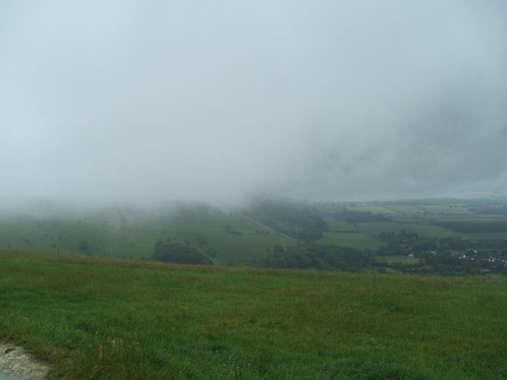
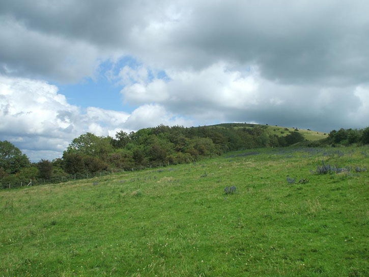
Sun in front of Truleigh
Made a decision to start the day at the Dyke, seemed like a good idea at the time, learning point number 1. My choice of route was based on the forecast for increasing W in the wind. You can either go clockwise or anti-clockwise and I was thinking of start at Truleigh and then flying to Beachy Head tagging Dyke, Ditchling etc along the way. I should have got John to drop me off at Truleigh as I spent about 45 mins getting there, 45 mins wandering in fog looking for a take off, I got lost along the way and then drenched by wet,`` waist high grass and still couldn't fly.
Turnpoint one bagged
I figured it'd be too difficult to fly to Truleigh from the Dyke but easy enough to get back and it was convenient to park at the Dyke. Hour and a half wasted...
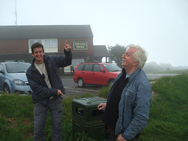
'Expert' weather assessment
Still, conditions improved on the way back and I found a spot I reckoned I could get off from, figuring a few 100 feet would see me over the power lines, another small climb there and I'd be on the main NW Dyke ridge. I called Greg to find out what it was doing on the Dyke and he'd already left.
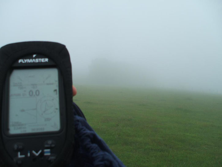
Base had lifted but it was a bit windy
I figured if I launched now I'd be in for a shock at the Dyke and so packed up and walked back to find learning point number 2...
Laughing heartily at Greg's account of losing his phone I failed to secure my helmet to the outside of my rucksack (there's not a lot of space in it). My own piece of double track back hell ensued. Fortunately some one found it and hung it, nice and obvious, in a tree. More time wasted and by the time I got back to the Dyke I'd been on the go for ages and only bagged 2x sites and a short distance, loads of effort and not much reward.
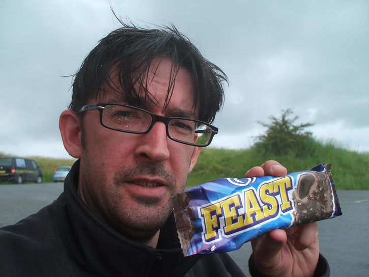
Quick stop for sustenance (lesson 3 - take some food and definitely some water with you) and we're facing the barrage of gentle ribbing about my chances and nobody is flying, not even hangies... conditions didn't look too bad (for me) so I thought I'd give it a crack.
.jpg)
Wasn't too bad in the air, almost got walloped faffing with the flight deck just after launch but once I was properly paying attention it was fairly easy to climb out, wind was a little off to the N and fairly strong so I really wanted to be N of the hills between the Dyke and Ditchling. Also, cloudbase wasn't that high but the vertical development was huge, climbs weren't strong but I was aware of the potential for it all to become too easy.
Figuring the climb out from the Dyke was fairly easy the plan was that I'd head off to Newtimber ASAP and get another there, cross the A23 and keep pushing until I could drop back onto the Ditchling ridge. Lesson 4 - Newtimber doesn't work like you think it might. Well, certainly not for me on this day, so I found myself scrabbling around in a broken nothing above the garden centre(?) and given the wind, I didn't want to get too close to the terrain. I thought the A23 maybe tough to cross on foot so picked a field and a back-up just in case and booted it.
Speed to fly theory is worth knowing a bit about and understanding your glider and roughly what it does on bar helps too. Being able to judge that at trim you'll never get there 'cos you're not making progress and at full bar you'll be on the ground inside a minute allows you to just half bar and get on with it. Lesson 5 - make your decisions before you need to. On the way across from the Dyke I'd already decided that if Newtimber didn't work I would half bar across the A23 to the field upwind of the quarry. Decision made it was just time to implement... no dithery 'what do I do with this situation?' nonsense here.
I could see the slope I was headed for was shallow and that I should be able to get up and away from near the top so a slow pack and I was off on a stomp.
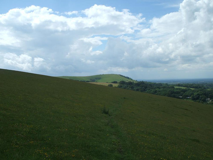
landed ... next launch ahead
Lesson 6 - pack quicker, save time. I had packed my kit three times and if I'd saved 10 mins on each I'd have another half hour. Soon after launching I realised the wind had gone more W and although I could see gliders in the air at Ditchling I knew in my heart that the day was nearly done. I was also stuck on 'the soar of shame' and keen to push on, I duly did so.
Lesson number 7 - field landings... when you assess a field from the air you consider crop, livestock, topography & terrain. I spectacularly failed to consider the egress of said chosen field... got down OK, landed, packed up and then realised I could not see a gate. Expletives deleted, the field was bordered by 6' to 8' of hedgey, nettley, thorny, bush. Fortunately there was a lower point just ahead and I could clamber out. Lesson 8 - when you jump over a fence, take your pack off and throw that over first, also, put stuff in your pack, don't leave it dangle. No damage done but it could have been very different.
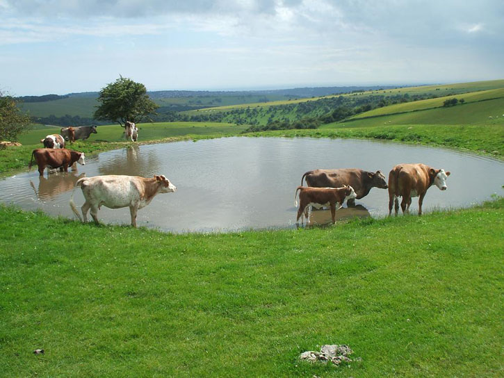
drinking water
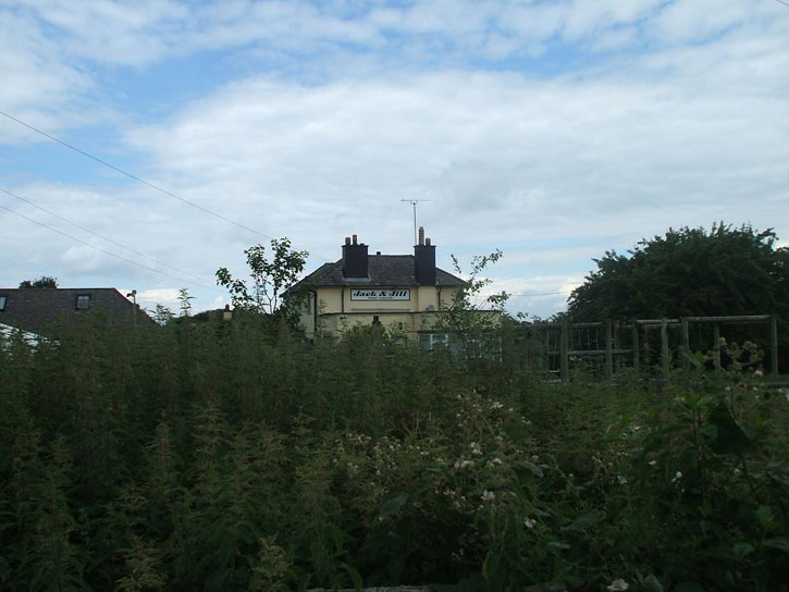
Now I had a jog on to get up past Jack and Jill (the windmills) and get to Ditchling before I was done in by the change of wind direction. Lesson 9 - phones are no substitue for proper maps. The Live unit is great in the air and zooms in as you approach turnpoints, you can configure it however suits you best, it is a truly awesome piece of kit. On the ground it's nearly useless for navigation (no better than a compass) although is interesting to know exactly how far you have to travel. My smart phone isn't that smart (neither is it's owner to be fair) and the mobile internet connection in rural Sussex is about as hot as a penguin's toes. Will take a proper OS map next time, as well a making sure the phone is fully charged.
[Editor note: try loading a hiking/OS style map onto a Garmin GPS, that's always available]
Now I had blazing sun and was also cursing the lack of a proper hat and sunscreen. Lesson 10 - be prepared for the weather to change.
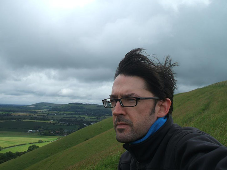
resist resist
Up at Jack and Jill the wind was WSW (photo into wind)
I took a less than ideal route to Ditchling and realised my day was done.
The GPS had said 8km to Caburn so I pushed on to the car park, then I realised after another nourishment break
it really isn't
that it had been indicating the scale... 12km now to the turnpoint, 3hours on the ground, I'd done 6 1/2 already. Time to call it a day and reflect.
On balance I was pleased with the flying and given it's been 15 years since I properly flew an XC and landed out it was a good refresh ahead of the Nordics. The Live worked well and now I've had 18 months on the Omega Lightness combo I'm pretty comfy there too. Walking really sucks, but then we all knew that.
Walking really, really, sucks.
With hindsight I'd have taken the climb from the Dyke much higher and pushed upwind. Being at base when leaving the Dyke would have meant gliding to Jack & Jill and ten more minute in the air could have saved two hours of walking. Should I have persisted with the soar of shame? The day was worsening so it was time to go, the big 'mistake' was not starting at Truleigh, even if it was with a walk... start at Truleigh for a NW forecast and read the site guide before you go to a 'new' site. Final lesson, and thankfully one I'd already considered ahead, it massively helps to have someone collect you when you call it a day... John, THANK YOU, you are truly a legend of the highest order.
Here endeth the lessons, hope you enjoy the vid (& pics)
thank you to
my gorgeous wife for letting me loose
the flybubble team for the top class support, kit & organisation
the people behind rasp for actually being able to provide a useful met interpretation
the X-alps athletes for inspiration
the person who found my helmet
the people who own the fields I 'occupied' for a while
and most of all
John for driving me there, back and collecting me when I really couldn't face any more
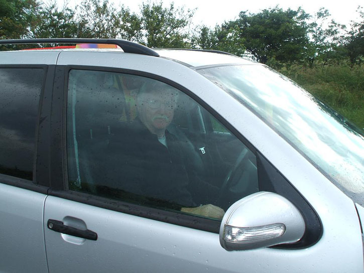
A most welcome sight!