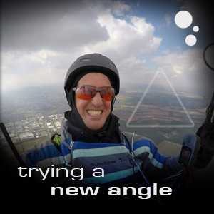
Flybubble's Greg Hamerton attempts an early season 50 km triangle from a small hill in the UK and gives insights into his thinking and tactics and inspires us with trying new things.
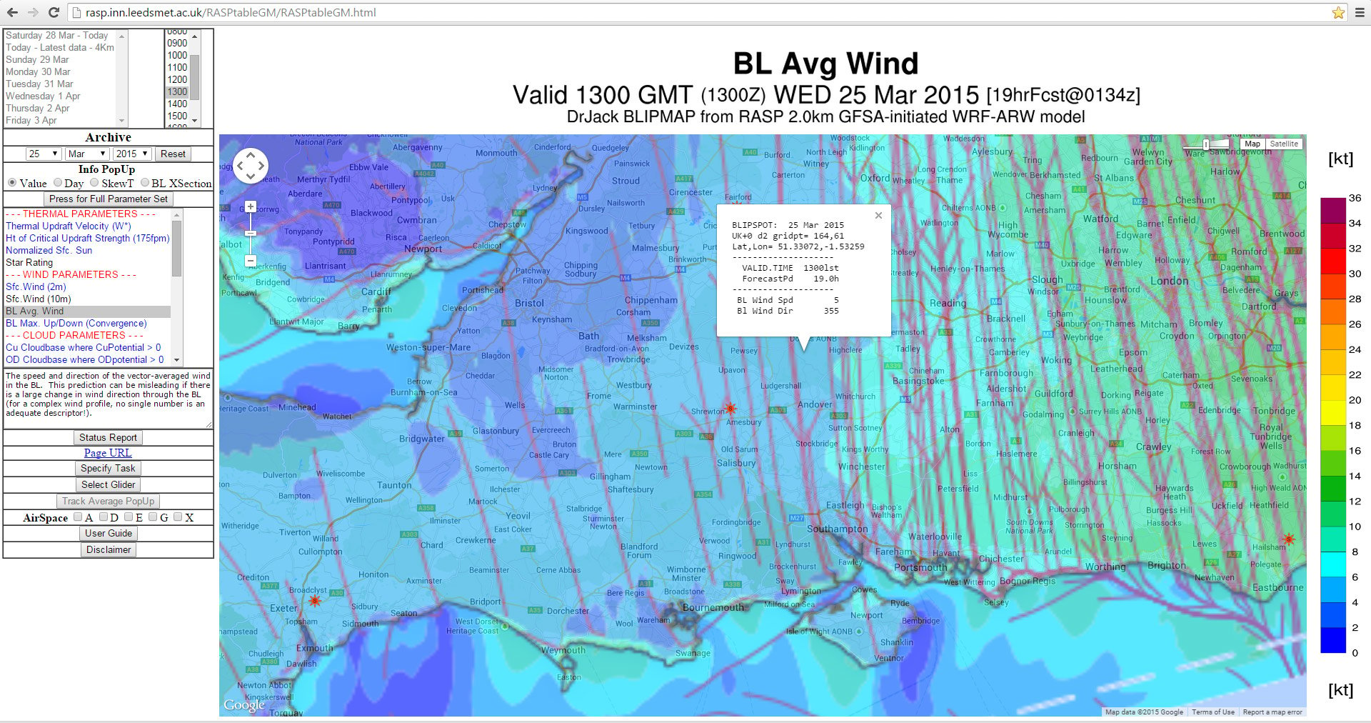
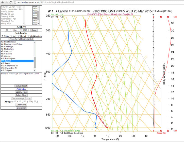
RASP¹ predicted light winds of steady direction, cumulus clouds with reasonable height (3,500-4,000 ft), 2m/s thermals and no inversions. The only limitations were the cloud tops around 10,000 ft (might bring showers) and the likelihood of spread-out and shading due to the saturation of the air at altitude. Facebook was alive with UK paragliding eXCitement, so I knew I'd be in good company at Combe Gibbet.
Rather than drift off downwind as I usually do (with ever increasing retrieve logistics), I set myself a 50 km FAI triangle, with an easy downwind leg first (my logic being that earlier is harder), a turnpoint at the bus station, a crosswind leg to a train station that linked with said bus station, and a final (hard) push into wind, hopefully at the best time of the day with nice established climbs.
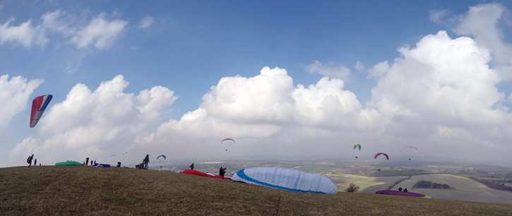
When I arrive at 11 AM the launch site looks very welcoming. Nobody has climbed up high yet, but it is soarable so I rig and get in the air at once. I already have the task set in my instrument so waste no time.
Over the forest to the west seems to be the best place to get up, so I go there and get up with the second gaggle - you have to be quick when it switches on!
Once at cloudbase I set off downwind on my own and scrabble around for some time to maintain height in the disorganised weak climbs, until three kites come over to show me where the best lift is. It is special flying with these guys, they seem to be curious and take turns to descend to fly on my wingtip for a while before gliding ahead to show me where better lift is. If I could have trained a group of thermal assistants, they would have done exactly this. I feel privileged to have been chosen as their Curious Object. I heard later there were many kites on the wing around Combe, but it seems to me that the same three accompany me for my entire flight, unless kites typically fly in trios.
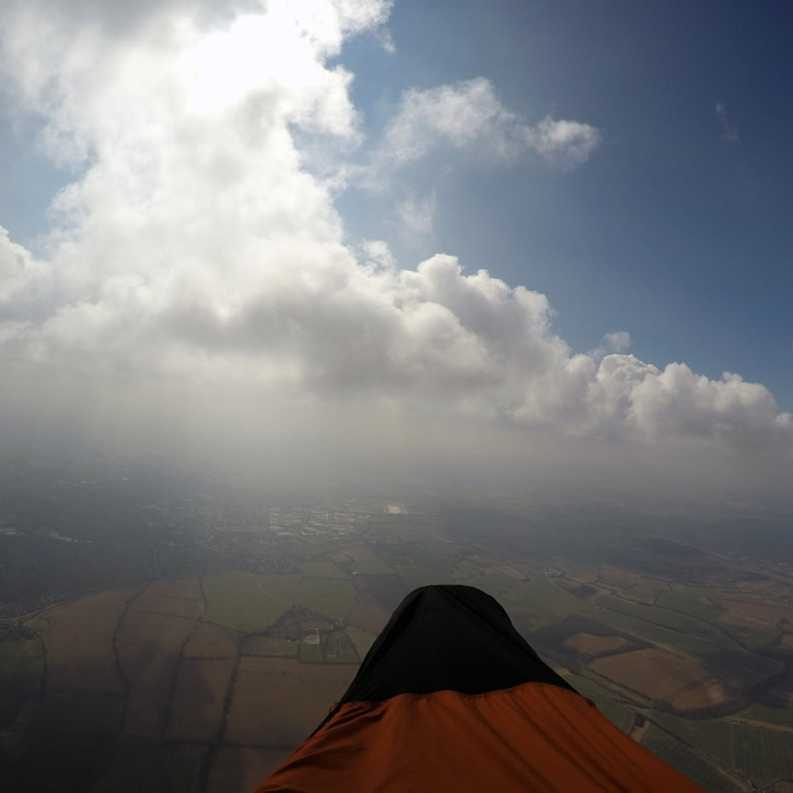
Andover sparkles in the sun, with a chimney cloud marking the lift. I don't have to work much, I can just link the blobs, enjoy the view and try to keep warm. According to the tephigram, the temperature is -2 degrees C at cloudbase, minus some more for wind chill. In my pod harness and flight suit, I am cosy, but my fingers are getting numb.
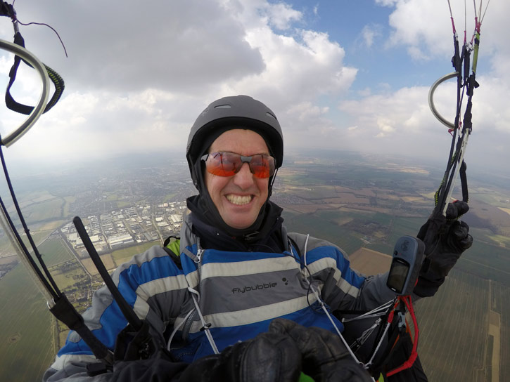
Rounding first turnpoint, I top up under a friendly cloud, and change gears: half speedbar for best crosswind glide, looking ahead for the next likely cloud to leapfrog onto.
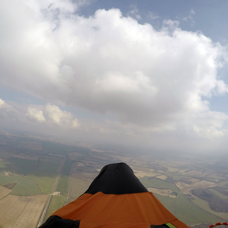
The route (along the railway line) is clear ... aim for the sailplane and paraglider climbing under the domed part of the cloud, straight beyond the little forming wisp (wind coming from the left). Despite the fact that it will drift me off course to the right, being high is better than gliding far (to the shady ground).
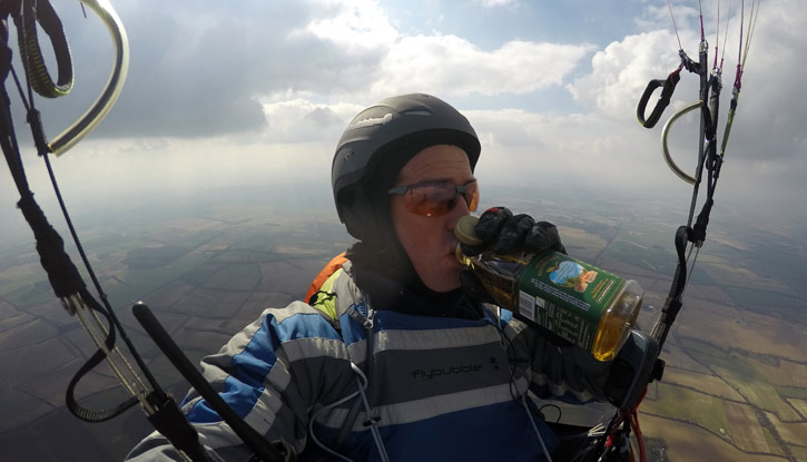
I take a quick refreshment break on another silky smooth glide. A drinking tube would be a better idea than the juice bottle, but I often don't have my in-flight pee tube connected (it feels creepy to set it up in a public place) so I usually limit my fluid intake during flying instead.
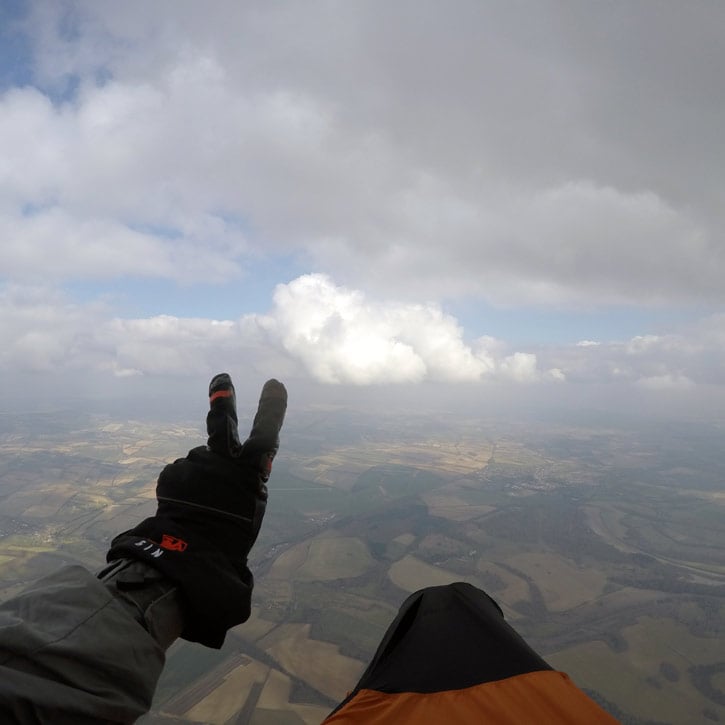
Approaching turnpoint 2, the cloud shows signs of a gentle wind change from the right (or less wind aloft). I aim for the taller side of the cloud, perhaps there's some convergence there as the E cloud bumps up against the NW wind?
.jpg)
Due to all the shading, I get low at the turnpoint, and have to search repeatedly to find a new core. I push on whenever I lose the climb, but can't afford to ignore any little beep. Then the kites join me, and show me I need to push much further into wind to ... kaboom! Thanks guys!
The thermal takes me up too quickly and I'm caught in the white stuff for a few long moments. The Icepeak doesn't come down easily, so full bar is the only workable solution.
Emerging to the panorama of the Hampshire countryside with the white and silent wall behind me is simply spectacular. I hold my breath as I glide and just soak up the sunlight.
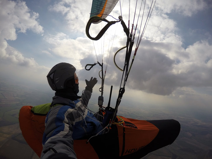
The cloud way off to my left looks possible, it has some vague tendrils. But it's almost 60 degrees off course. What to do? I opt to push on, Combe is only 15 km away ... I'm high, I'm bound to find something.
Into wind. On speedbar, and my glide ratio drops to 6. Too late I realise what I've done. The March sun is very slanted: everything ahead is shaded, by the upper altostratus and by the big block of cumulus I bypassed. I can see Combe Gibbet up ahead, taunting me as my 'glide ratio to goal' goes to 20:1, 30:1, 40:1. I've blown it!
I scrape over the edge of the plateau and soar the tree line in a last ditch attempt to pull a tracklog out of a Garmin, but it's not happening. There's no wind. Poof!
As I pack away, the three kites dance in the air over the field, as if to say, why have you landed here? It's still flyable, look!
Oh, for the wings of a bird. I pay the price for being only human, and march back to the car.
It's 8.5 km and the ViewRanger app shows me the direct path to take through scenic countryside, along the ridge top. Having the new generation of XC gear makes the walk a pleasure with a light, balanced pack. I'm back in no time, where I discover many pilots had a dismal, weak day with lots of shading and even hail. It makes me appreciate even more how lucky I have been to get away, to see what I saw, and to fly!
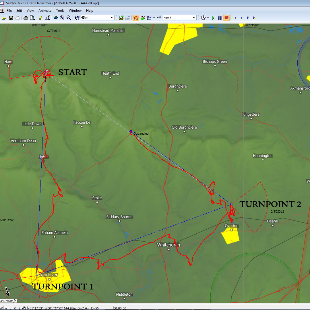
by Greg Hamerton, Flybubble Crew member and Team Pilot
Links
¹ RASP is a specialised soaring (thermaling) weather forecast aimed at glider pilots. RASP stands for "Regional Atmospheric Soaring Prediction". It was originally developed by John W Glendening (nicknamed "Dr. Jack") a glider (sailplane) pilot in California, USA with a PhD in atmospheric physics. More info on www.drjack.info.
Brought to you by Flybubble
Want to see more? There’s no better way to support our efforts than buying from us. We’ll ensure you get great service! Choose from our great range AND enable us to produce more videos and articles to benefit the freeflight community.

