


Paragliding XC Rybury to Wingrave 15.08.2008
- by Carlo Borsattino

Flybubble's Carlo Borsattino recounts a cross country (XC) flight by paraglider from Rybury in Wiltshire (between Devizes & Marlborough) to Wingrave near Aylesbury in Buckinghamshire, and gives insights into how this was achieved.

Checking forecasts the day before, it was looking like a good XC day in the UK for Friday 15th August. Difficult decision (as always!): Where had highest chance of being best? The best looked like Thames Valley area; Southern area also looking possible but with high chance of being messed up by strong winds and the sea breeze front. A few of us decided to be adventurous and make the trip to the Thames Valley area (camping the eve before), expecting it to be on at Milk Hill and/or Rybury.
We met up with various free flying friends at Rybury and then (after a record amount of phaffing on my part!) proceeded to have an 'aerial bun fight' with each other from 10:00am until 12:50 where I was the first one to catch a thermal and leave the hill on my lonesome. I think the reason I got up on that climb where no one else did was that I realised that it was coming from the lee-side of the hill, not from out in front, so I drifted over the lee-side area and got a stonking (moderately rough) climb to cloudbase at 4500ft over Milk Hill.
As I climbed and took a few photos a second gaggle left the hill (which I think Paul 'Tefal' Andon was in) in what looked like a much weaker thermal and drifted them much lower over Milk Hill. I decided today was not a day to hang around for other pilots (booming thermals, high cloudbase, lots of Cu's and sailplanes marking the climbs) plus we had already lost 2-3 hours of good conditions due to not being able to climb out from Rybury. I pushed on ahead on my own, deciding to push my overtly-conservative flying style a bit and fly a bit faster than normal, taking a few more risks than normal.
My route took me: Over Marlborough, the M4 then Wantage; between Abingdon and Didcott; just south of Oxford; over the M40 then Thame then Aylesbury; before eventually landing near a small place called Wingrave... perhaps the name suggests a place pilots should avoid? ;^)
Once again I found the Garmin GPSMAP 96C invaluable as along the way it was necessary to do the following: fly around, under and over controlled airspace; avoid Prohibited Areas and Parachute Drop Zones(!); zoom right in on the 96C (to within 100m) as I got close to the edge of controlled airspace zones; plan ahead (whilst thermalling) to negotiate airspace issues .
Starting one thermal ahead of the second gaggle (4 wings chasing me, with Tefal in), I ended up 2 thermals ahead of them by the time I was passing Oxford. Up until that point conditions were very good (i.e. moderate-strong and plentiful thermals with Cu's and sailplanes marking climbs well) but then the pace changed quickly and dramatically as thermals became weaker and less plentiful (possibly due to incoming cirrus cloud from the approaching warm front and/or what I call cumulus 'clumping'). I sensed this happening and immediately changed down several gears, going from 'motoring' to 'mincing' mode. I noticed that the guys behind me, who were also lower, appeared to do the same.
As conditions weren't anywhere near as good as they were before, things became trickier and I ended up low-ish (around 1500ft ASL) as I approached the M40. I found a weak bitty broken climb and dribbled along in that, climbing slowly but surely. I used this slow, gentle thermalling time to check the airspace ahead and plan my route / strategy. As I approached 3500ft ASL again I was also approaching 3500ft class 'A' controlled airspace from LTMA, therefore I had to leave the climb and move on.
As I approached Aylesbury I got back up to near cloudbase (4300ft ASL) before the cloud I was under started to collapse and the weak climb I was in fizzled out. My only option at this point (it seemed to me) was to head for an OK-ish looking cumulus cloud to the NE of me, over Aylesbury. Half way to the cloud it collapsed completely (leaving dead sinking air in it's place) and I ended up taking one of those long, smooth glides from cloudbase all the way to the ground, landing just short of the hills (probably the next major thermal trigger point). I landed at 15:40, after flying for just under 3 hours, for a distance of approximately 95km.
15 minutes or so after I landed I saw the next glider approaching, passing a few km to the NW of me, with enough height to reach the hills (not very high) where they found their next climb and then glided. I think this may have been Tefal who went on to do 100km - very well done Tefal!!! 8-)))
Craig Atwell also passed me (undetected!) later on (with another fellow South African, Mark Jones) eventually landing together at around the 116km mark. Craig later told me that Mark was at cloudbase above him and spiralled down to land beside his fellow countryman! This means that, even if he hadn't found any more thermals, Mark could have easily glided at least 125km+ (the longest paragliding XC flight for 2008 was approx 131 km).
I got super-lucky getting back to my van at Rybury: After a short (400m) walk to the road, I hitched for 15 minutes and got a lift to the outskirts of Reading where I got a park-and-ride bus to the train station and caught a train to Pewsey (I think the nearest train station to Rybury). There I spoke to a very nice lady who gave me the number for a local taxi company before she went off to meet her lift. Before I had rung the taxi a Rolls Royce pulled up next to me, which turned out to be the nice lady's lift! They very kindly offered to drive me all the way to the hill (about 10km away) so I got a Rolls Royce Retrieve! :-)
What a day!!! 8^D
Flight stats:
- Pilot: Carlo Borsattino
- Club: Southern
- Glider: Skywalk Poison 2
- Date: 15th August 2008
- Time: 12:44
- Duration: 2hrs 56mins
- Evidence: GPS
- Launch Type: Hill-launch
- Takeoff: Rybury
- Landing: Wingrave near Aylesbury
- Distance: 95.83k
See the flight in the UK National Paragliding XC League (opens new browser window)
Flybubble Wins 2008 Southern Club Paragliding XC League
With various exceptional cross country paragliding flights throughout the year, including this one from from Rybury in Wiltshire (between Devizes & Marlborough) to Aylesbury in Buckinghamshire and another from Mount Caburn near Lewes to Sheerness on the Isles of Sheppey, Carlo Borsattino, Chief Flying Instructor (CFI) of Flybubble Paragliding, ended up winning the 2008 Southern Hang Gliding & Paragliding Club Paragliding Cross Country League (link opens in a new browser window).
See more about Flybubble team pilot cross country paragliding flights on the Flybubble Blog.
Photos
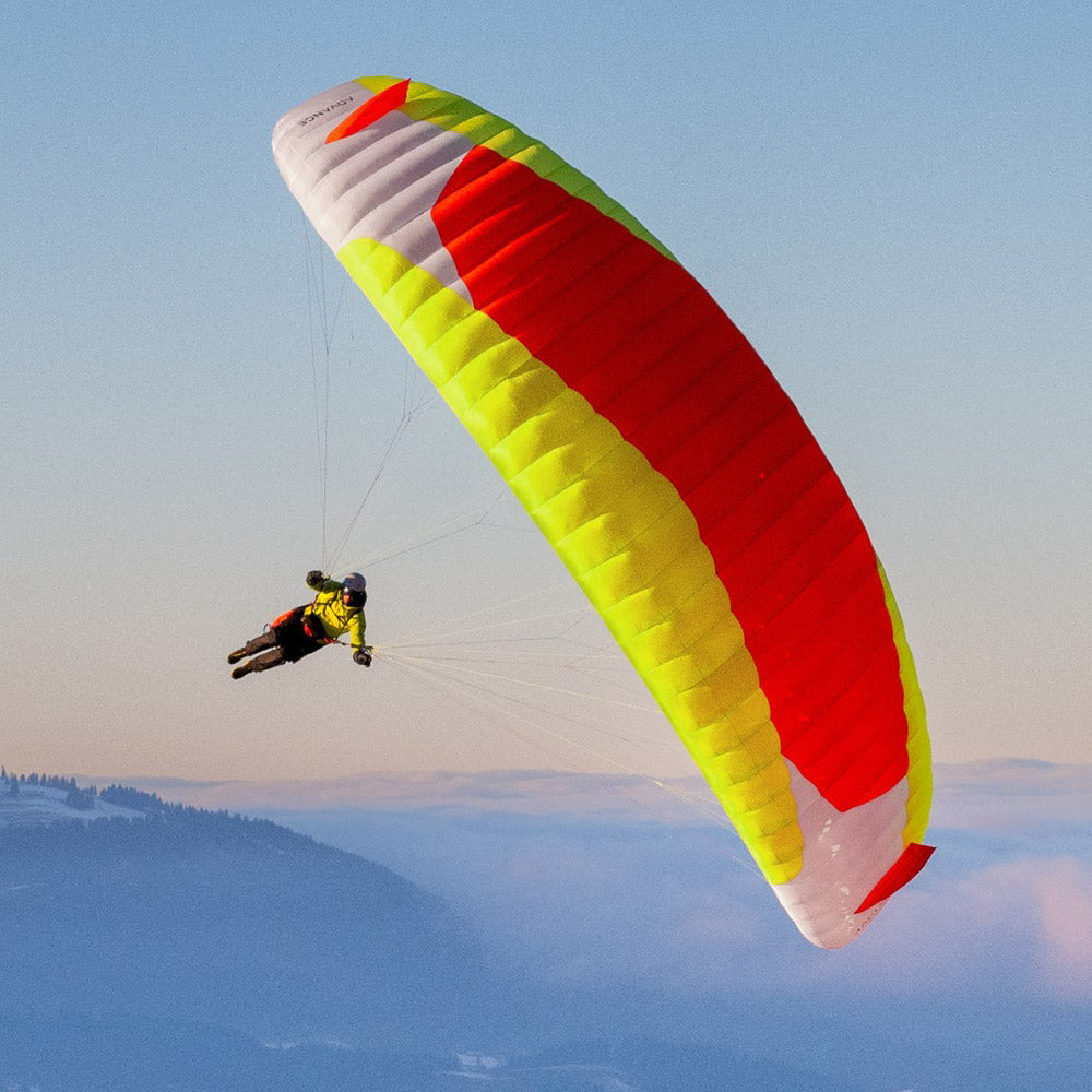
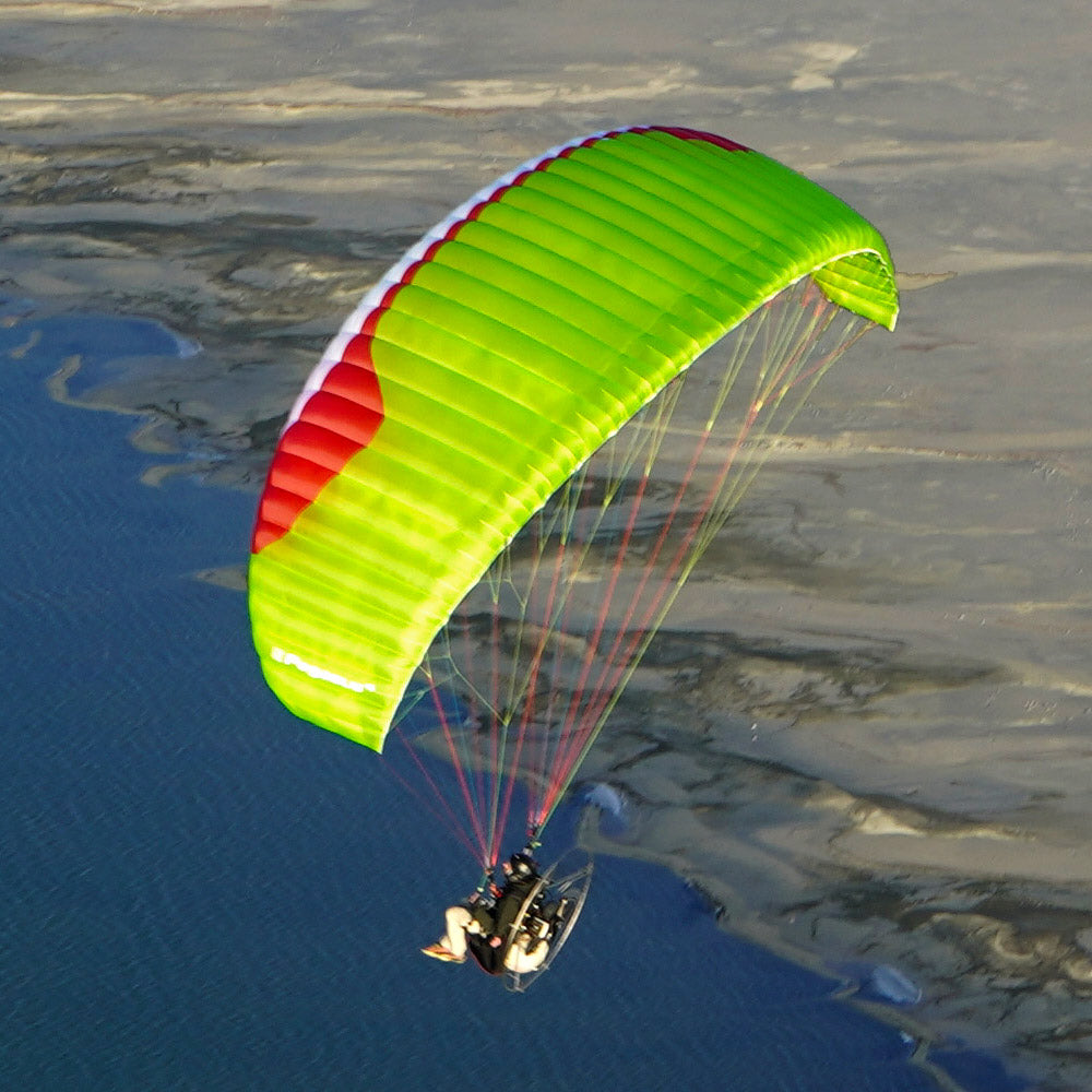
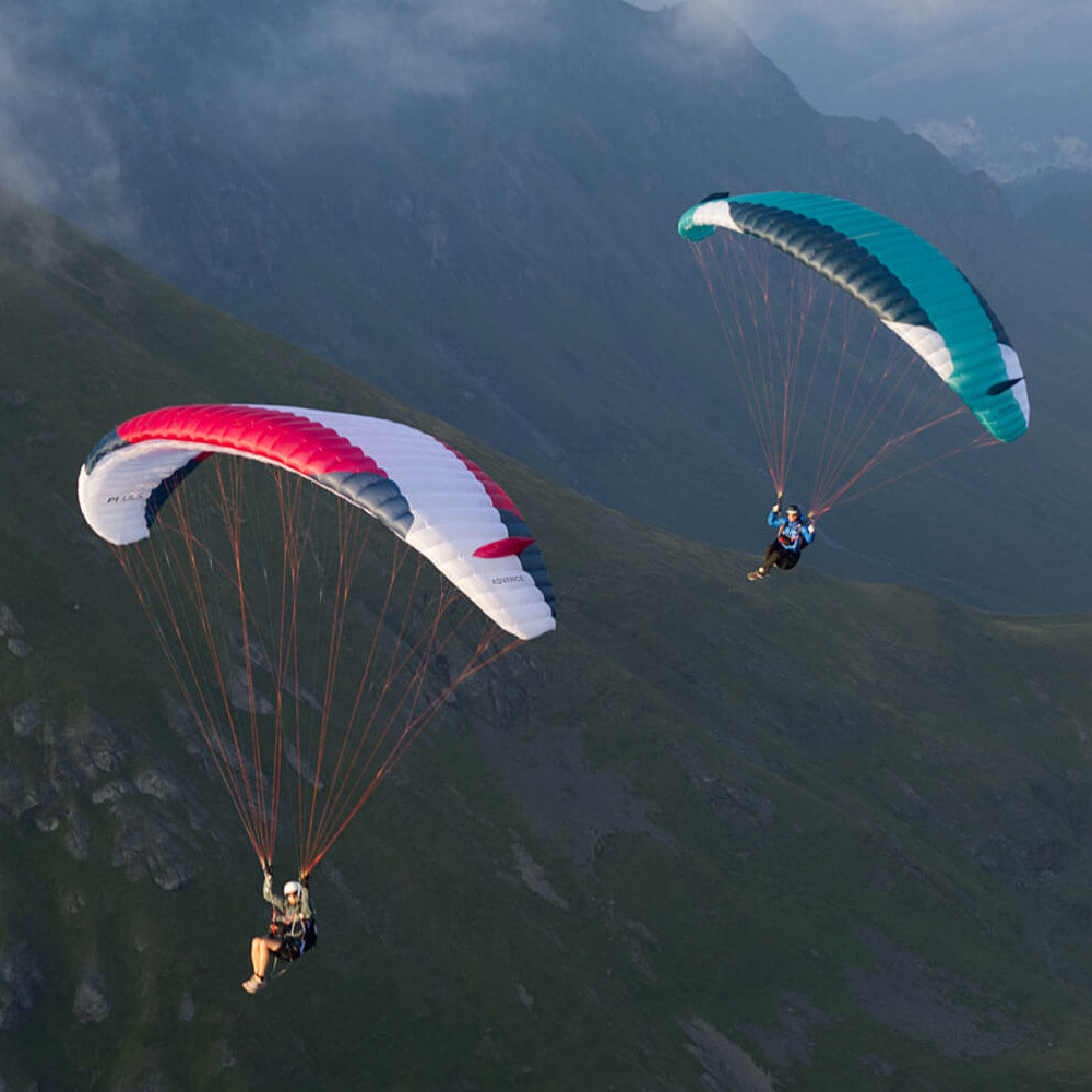
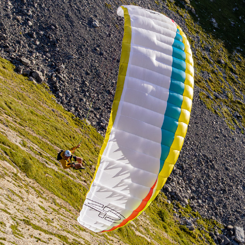
Photos by Carlo Borsattino from his paragliding cross country (XC) flight from Rybury to Wingrave near Aylesbury on 15th August 2008.
[justified_image_grid rml_id=283]
- Posted in:
- Articles
- Flight Skills
- Flight Stories
- XC Secrets


